
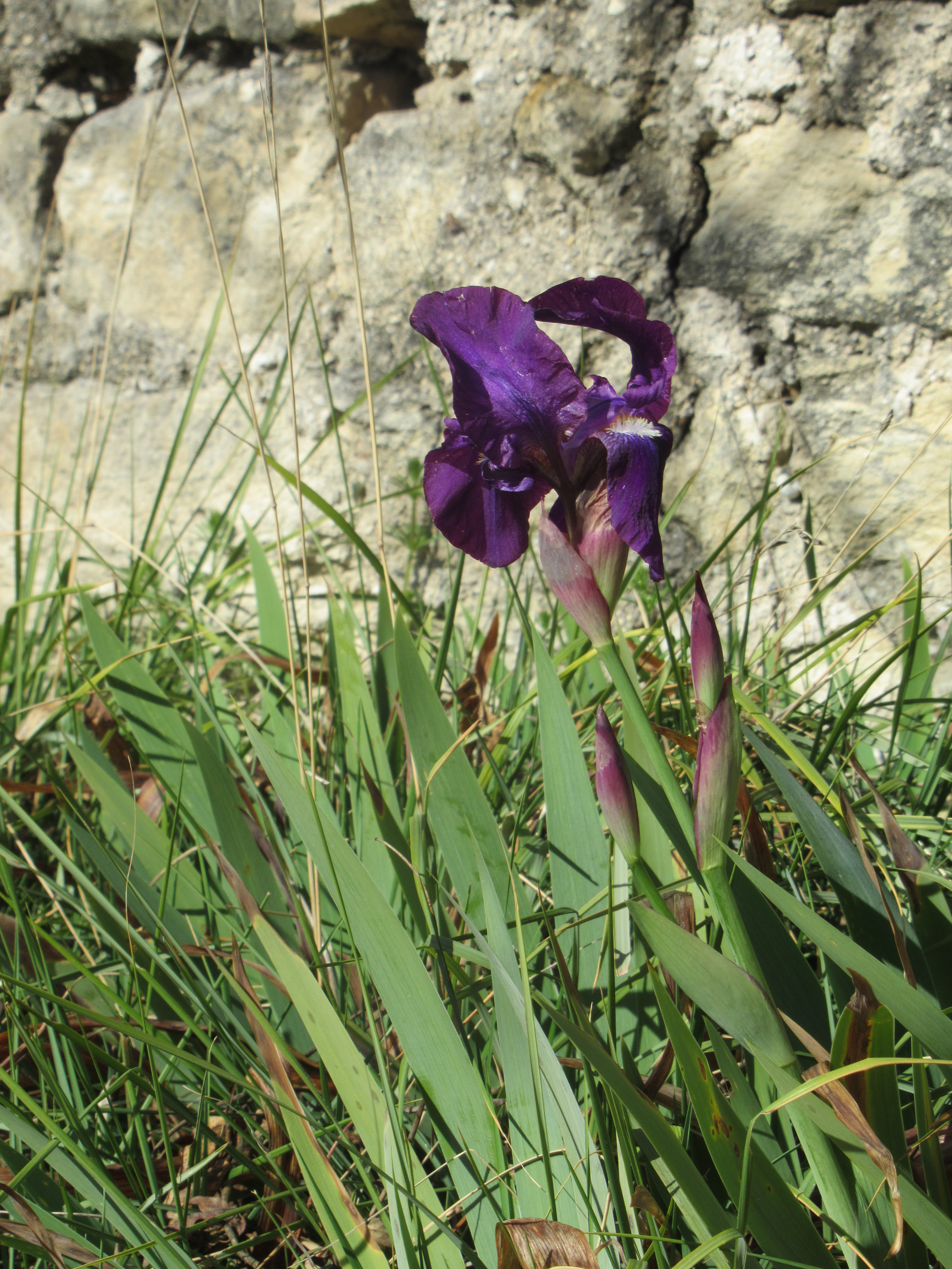
On waking this morning, I thought I’d have a bit of a hike along an old Roman road, as you do. I’d acquired a sort of map – are there other kinds available in France? This one came from the most excellent tourist information office in the world i.e. St Remy, in whom we should all place our trust. And just in case you think it’s going to be another tale of woe, let me assure you that, largely, the path went where it directed. Here’s the first iris of the year which bodes well for a trip to the Van Gogh place in a couple of weeks where the artist found himself tripping over the things before he noticed the sunflowers.
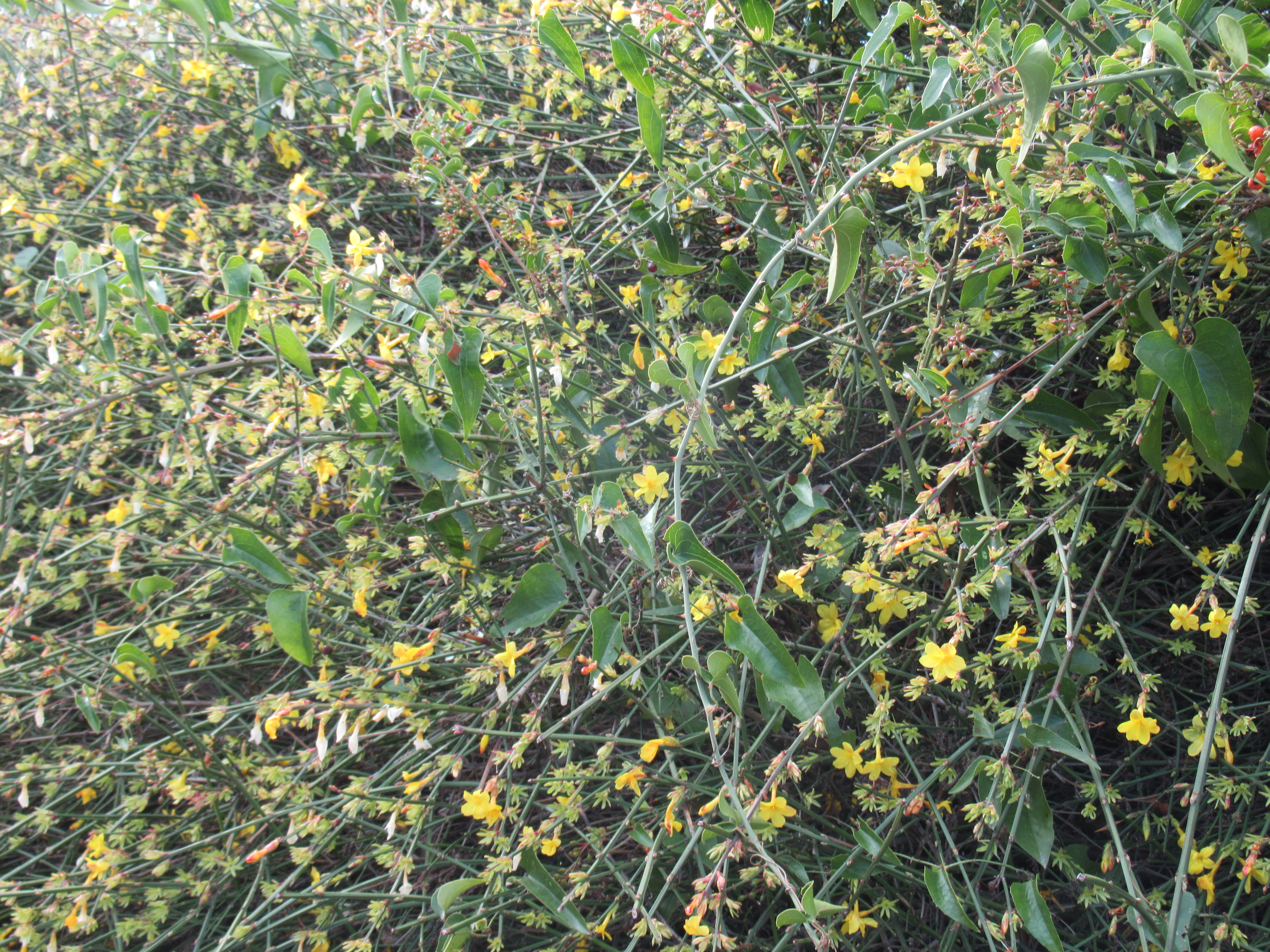
And here’s a jolly sight: a bush of winter jasmine climbing along an old stone wall in the back streets of town.
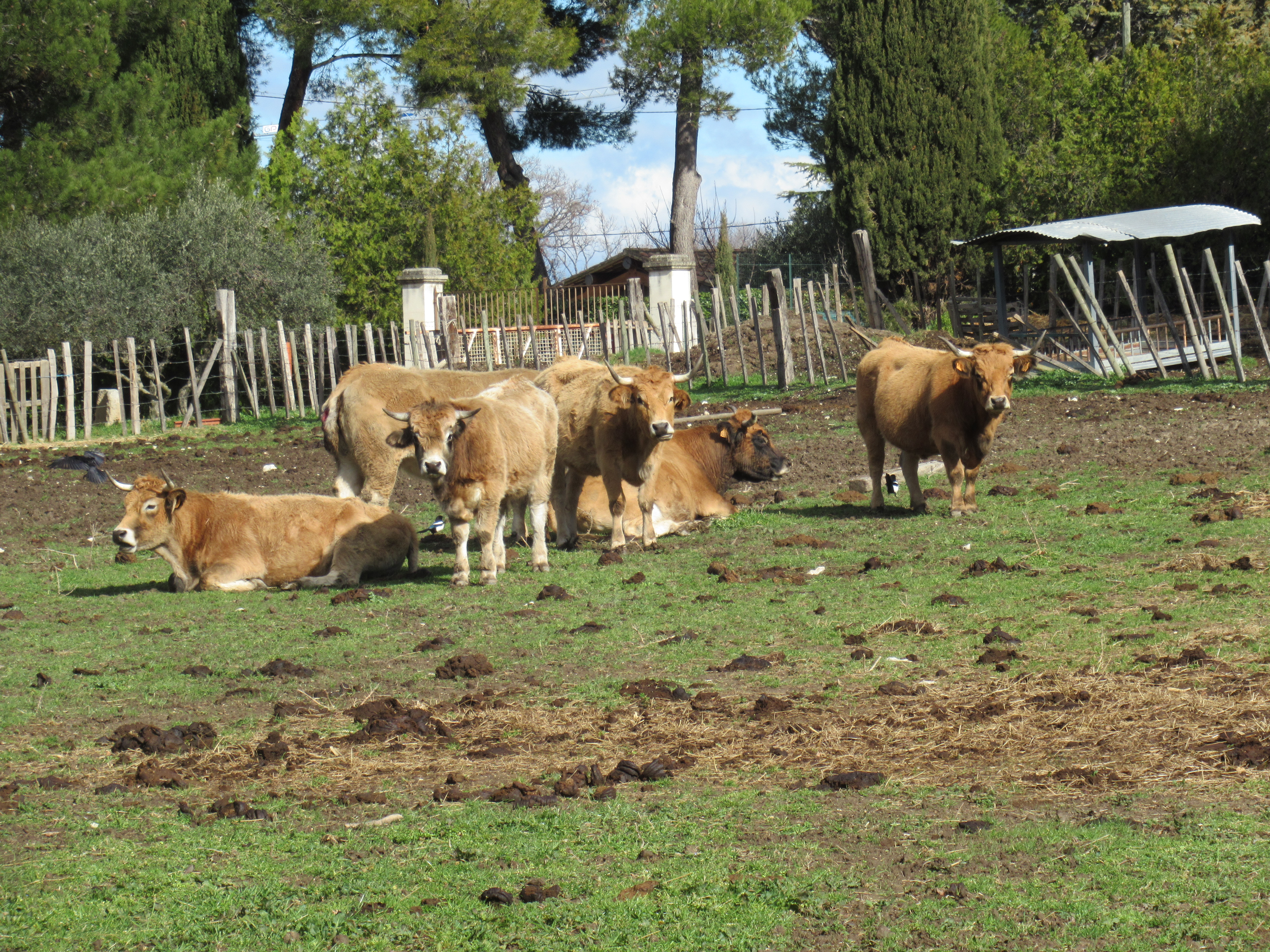
I’m travelling along the Via Domitia which is the oldest road in France, and possibly the oldest Roman road in the world outside Italy. It was constructed around 120BCE, allegedly on the mythical route taken by Heracles during one of his ten trials. As far as I can work out, the purpose of the ‘Domitia’ task was to bring some cows back to Italy from Spain; a sort of latter day Rawhide. Maybe these are some descendants.
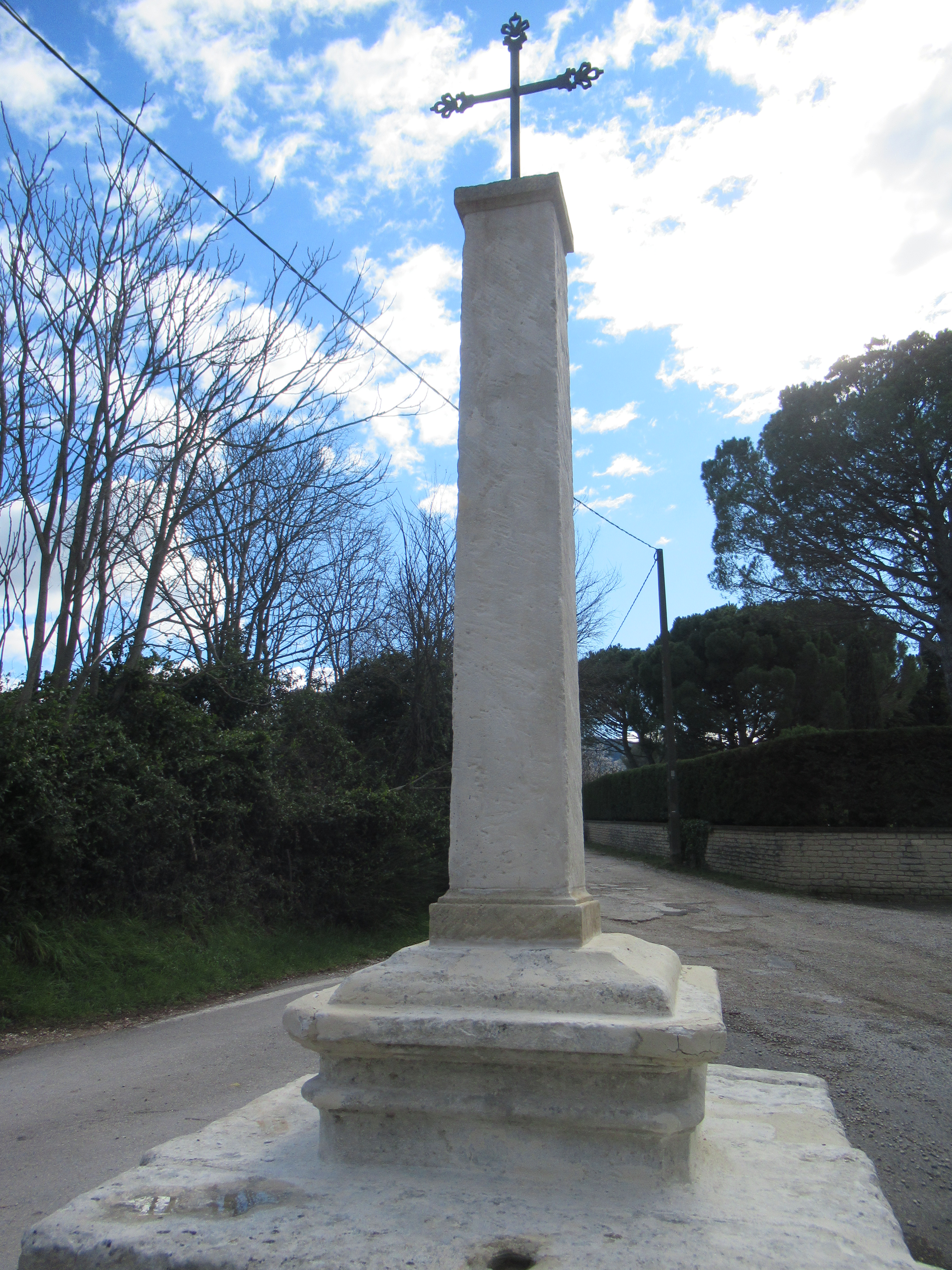
The picture shows the Croix de Vertus which means cross of virtues. I know it doesn’t look especially old but these crosses were often built on the old way-marker stones. And as I’m about to do a right turn into the unknown, I feel this is significant.
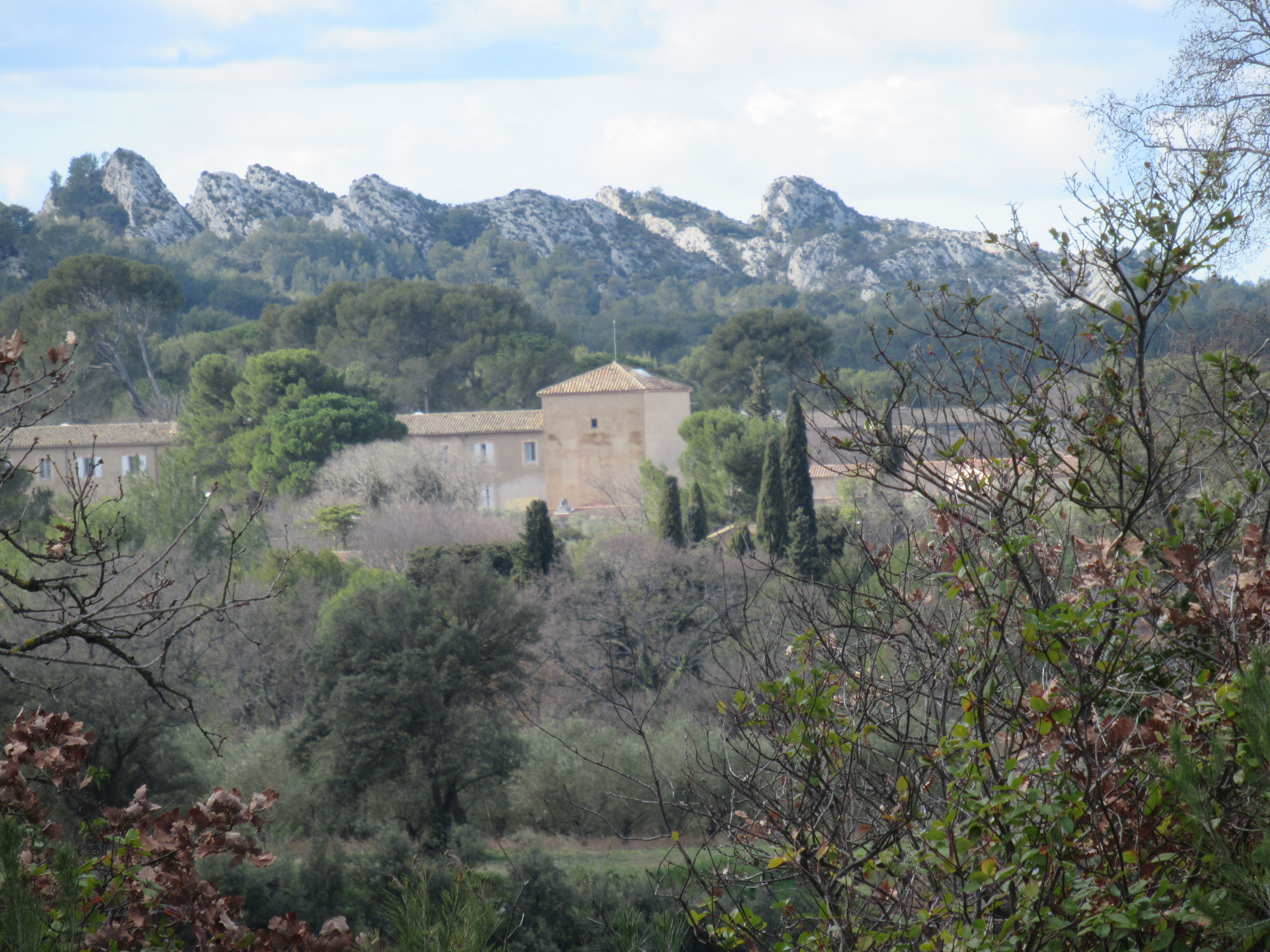
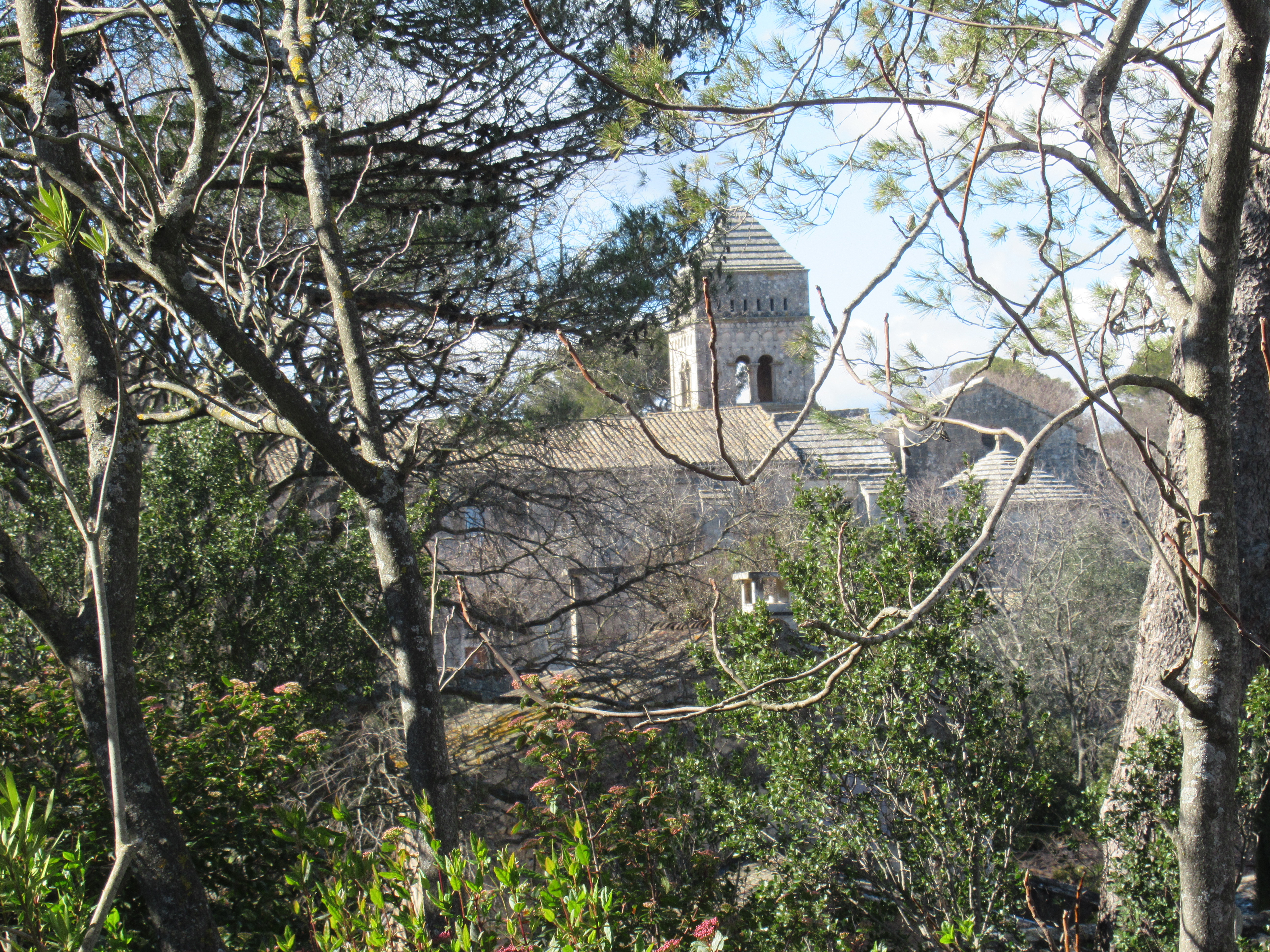
Initially, the road was built as a link between Rome and Cadiz, via most of southern France. All the online research promotes the importance of the Languedoc on the other side of the Rhone which is disappointing because it precludes the significance of sites in my region, such as St Remy and St Gabriel. For once, my camera behaved superbly at distance: this photo of St Paul de Mausole, where Van Gogh was ensconced following the incident with the ear, was taken miles from the place. And there are Les Alpilles in the background waiting for the wretched sheep to arrive in May. Maybe they’re also awaiting elephants as Hannibal and his entourage was also supposed to have taken this route.
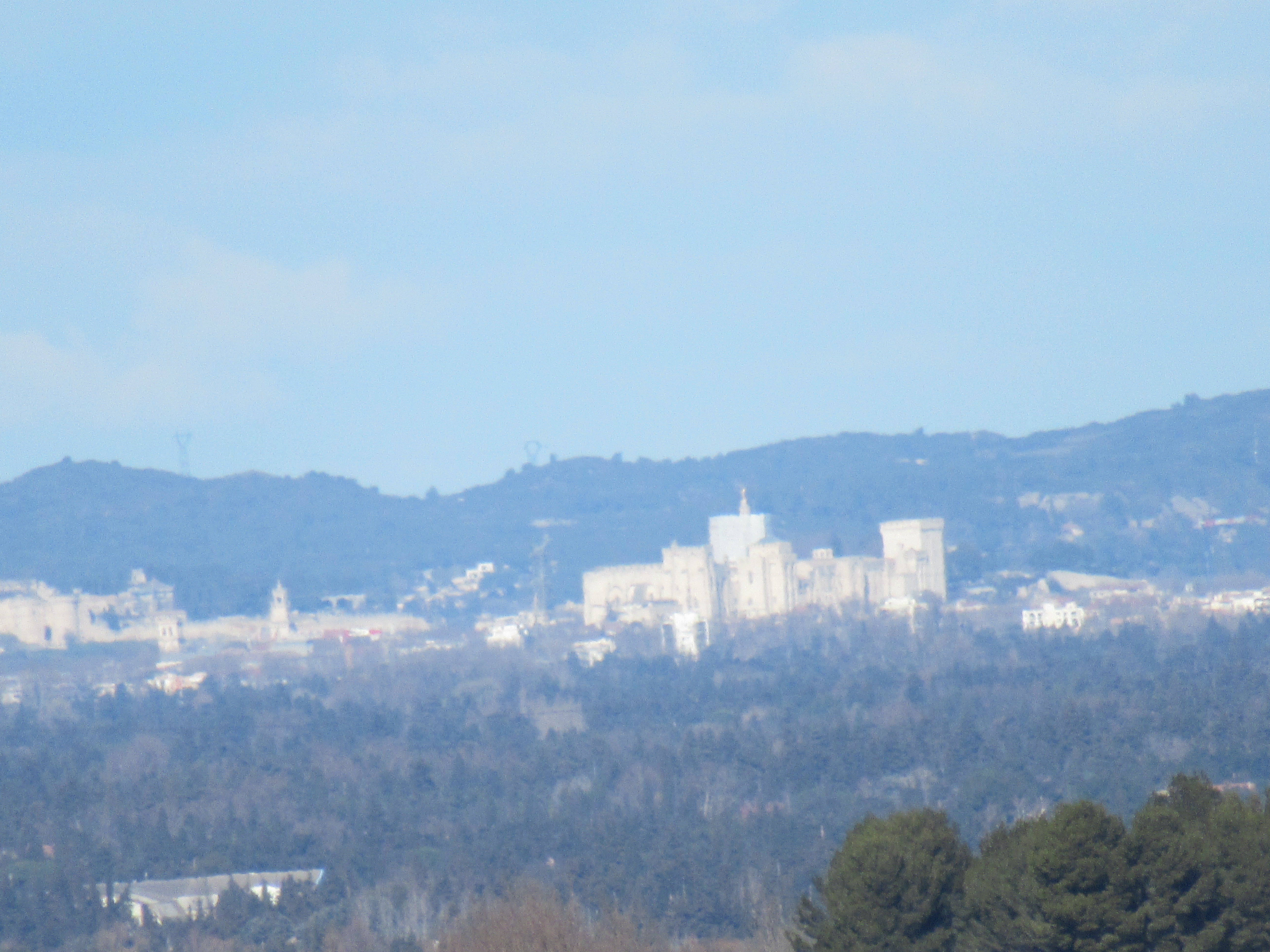
For someone who doesn’t care for hiking in hills, I seem to have found myself moving upwards a lot just lately. Mind you, this trip was certainly worth the exercise as the higher I climbed, the more I could see. Here, in the misty distance, is the Popes’ Palace at Avignon along with the city walls.
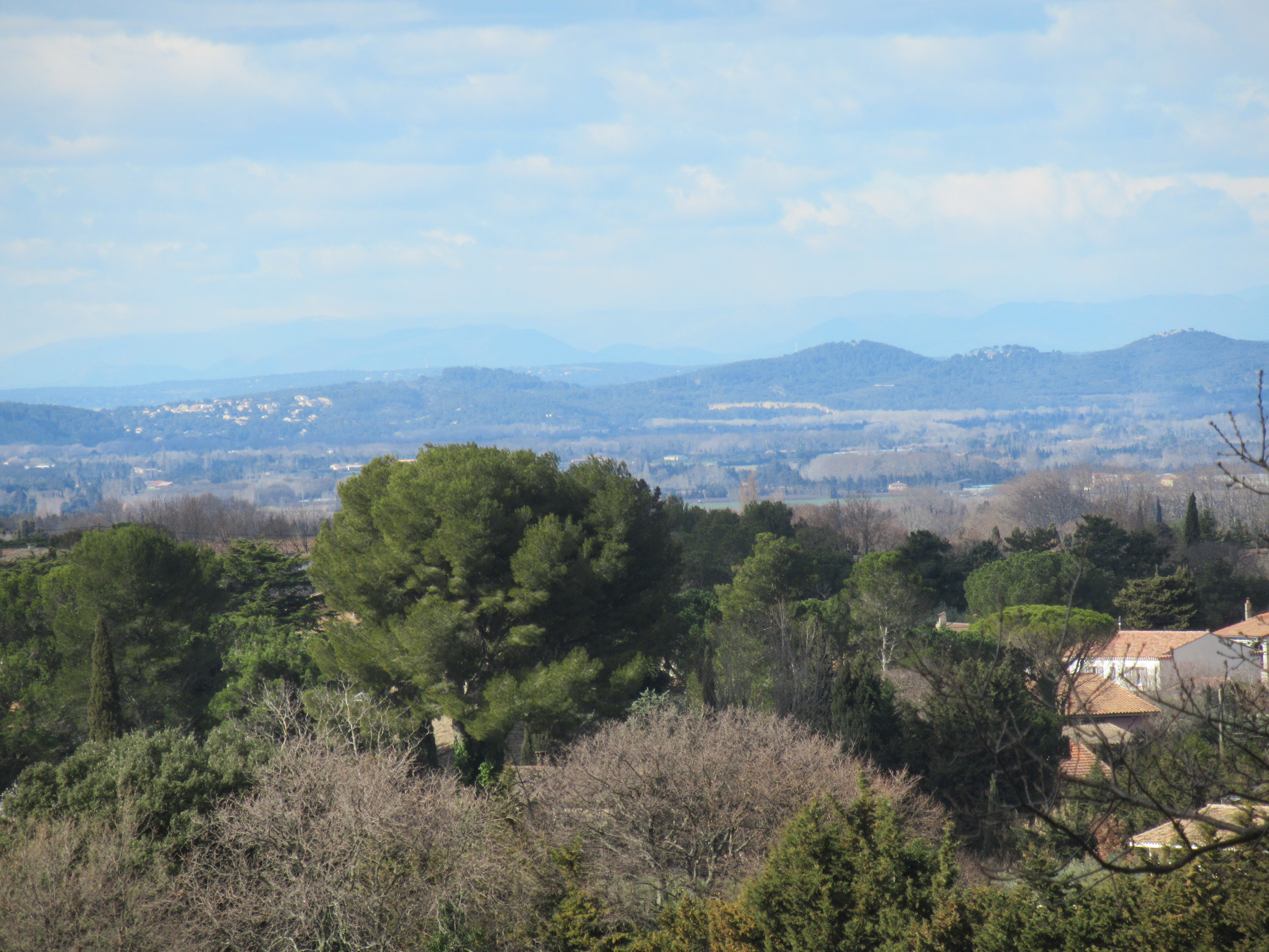
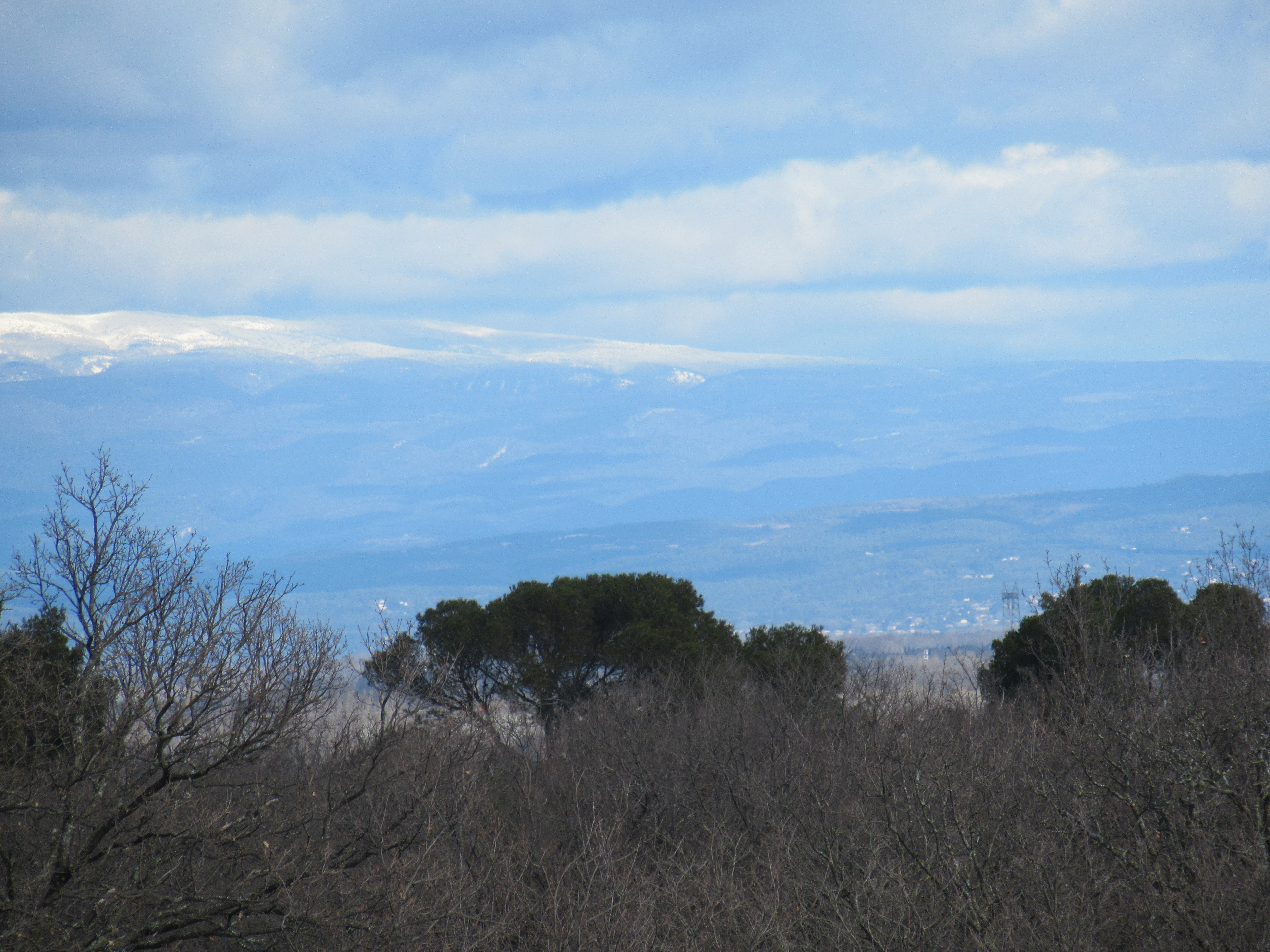
Just look at the views from up here on top of the world. In the distance, the Luberon and Mount Ventoux.
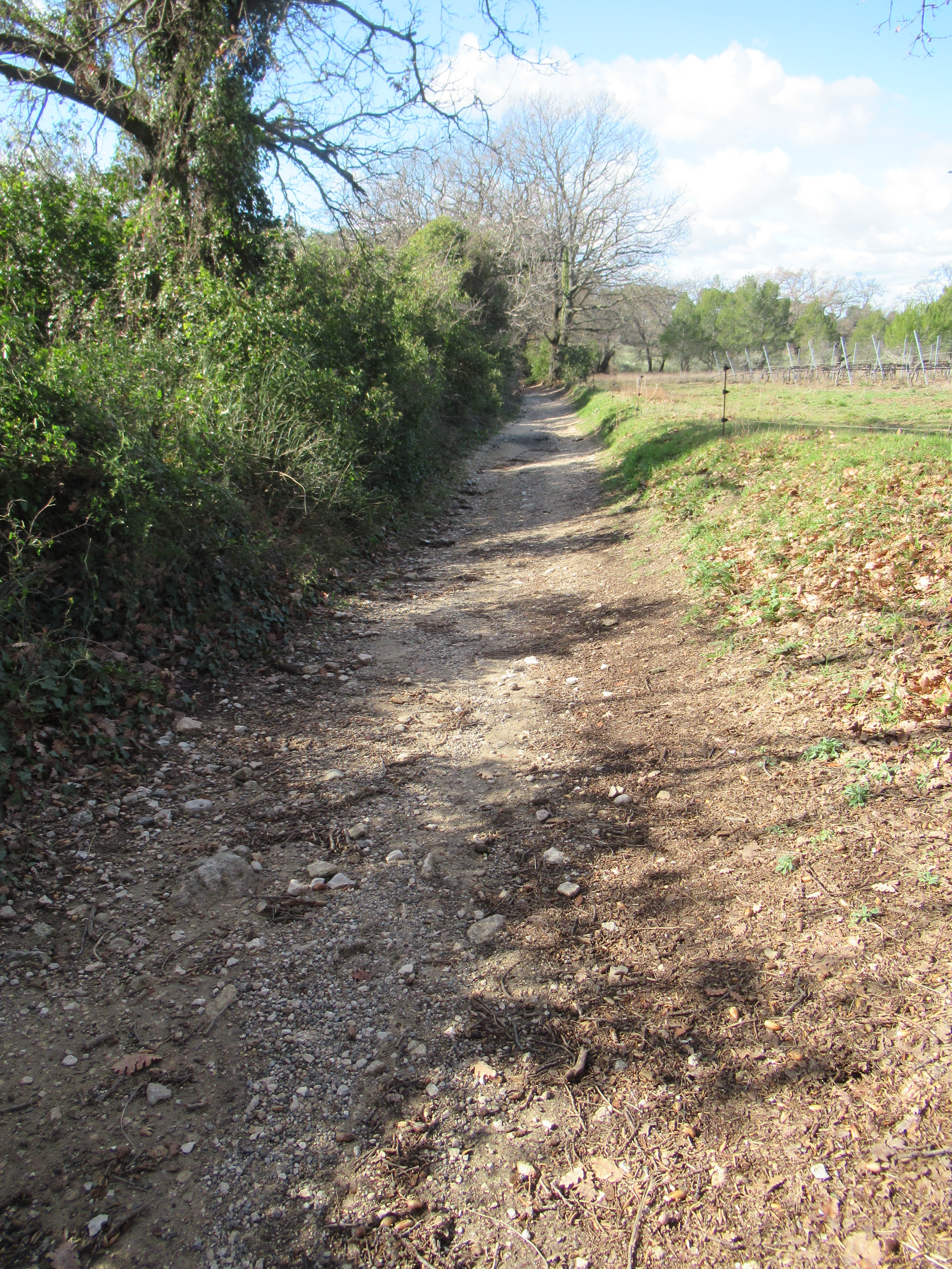
Sometimes, the route turns into a track which is tricky to traverse. At the top of this particular stretch are huge potholes which, I guess, is only to be expected when you consider who’s passed this way before. For example, along with the rest of the road’s history, there’s a view that the Domitia is also a branch of the path to Santiago de Compostela taken by pilgrims travelling from Italy (not to mention the elephants).
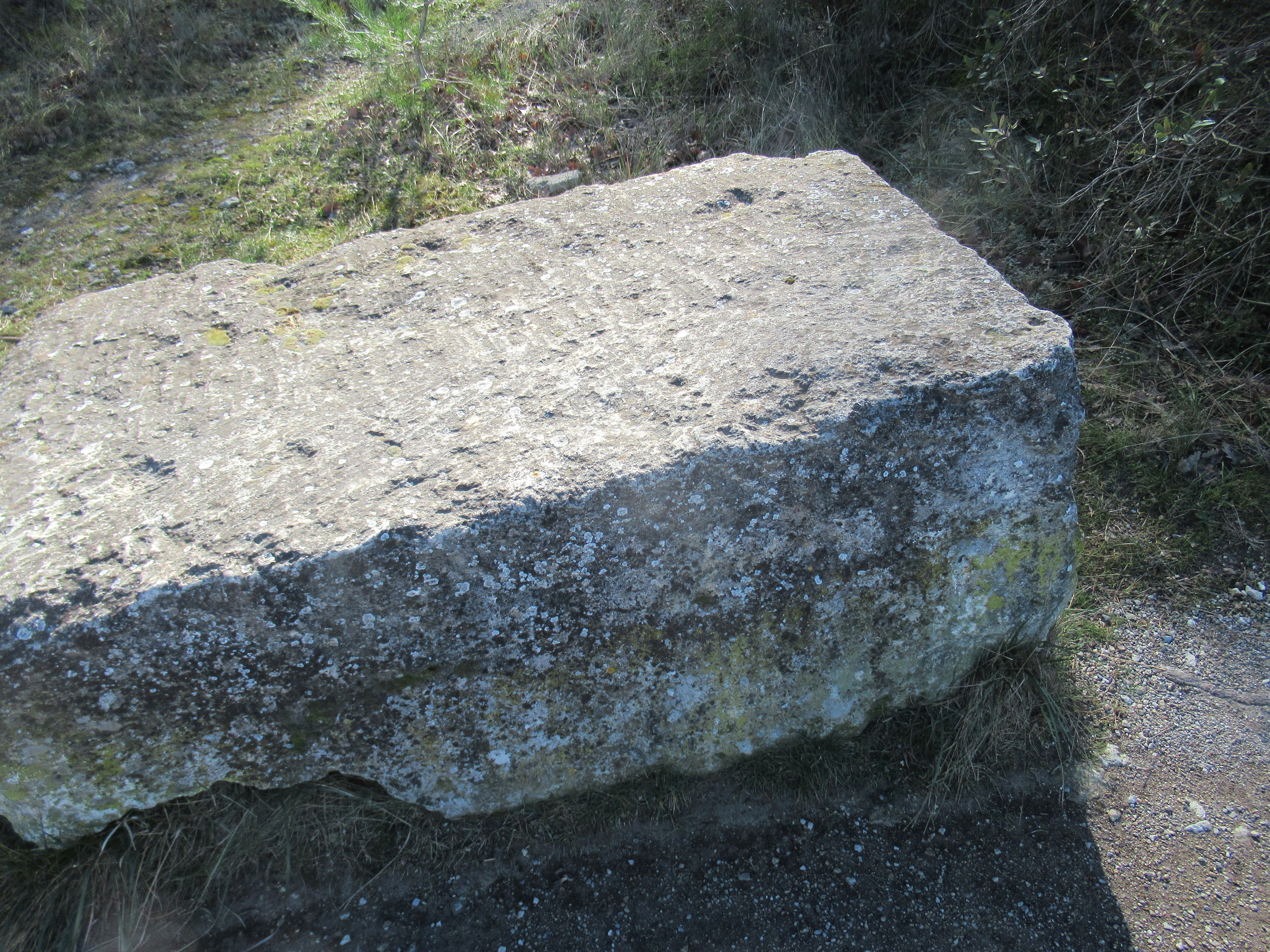
And often there are random stones which, having researched the way markers, ring true. The Via Domitia was originally built as a military way upon which approximately twenty five thousand soldiers would tramp each year during the war with the Gauls. Guest houses would be available every 30 kilometres with relay stations where horses could be changed in between. Further, there would be milestone markers every 1000 paces: square bases supporting monoliths. These stones would probably have been sourced at the old Pyramid quarry nearby.
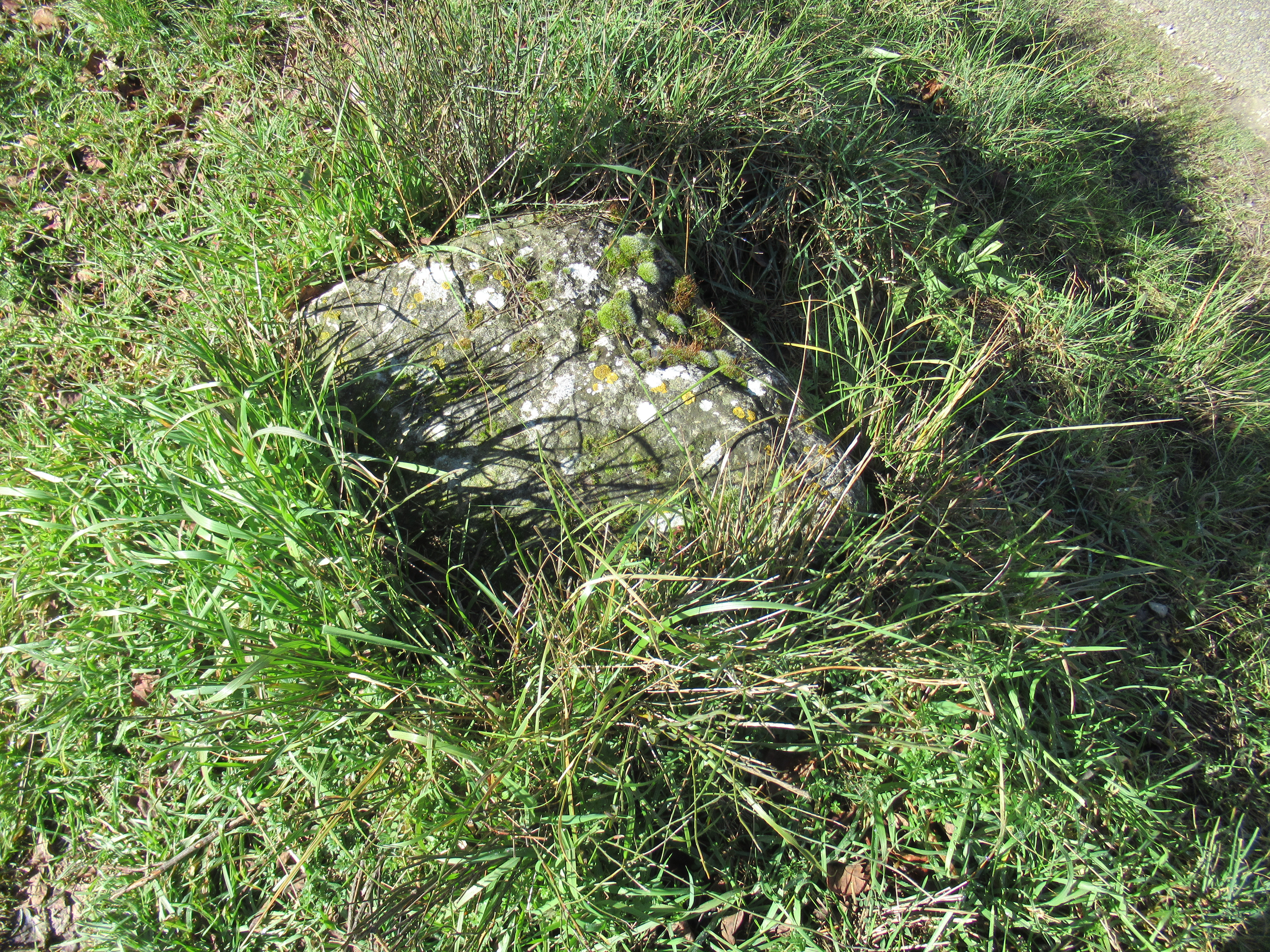
Maybe a leftover – I found this one quite close to the site of the quarry.
The way leads down to the grounds of the hospital I spotted earlier, where Van Gogh stayed and where I stop for my lunch in the sunshine. According to my map, I’m only three quarters of the way round but all is ok with the world. It’s been a fantastic walk and I’m determined to see it through.

Even those of you not familiar with the region might recognise this view of Les Alpilles which was famously depicted by Van Gogh.
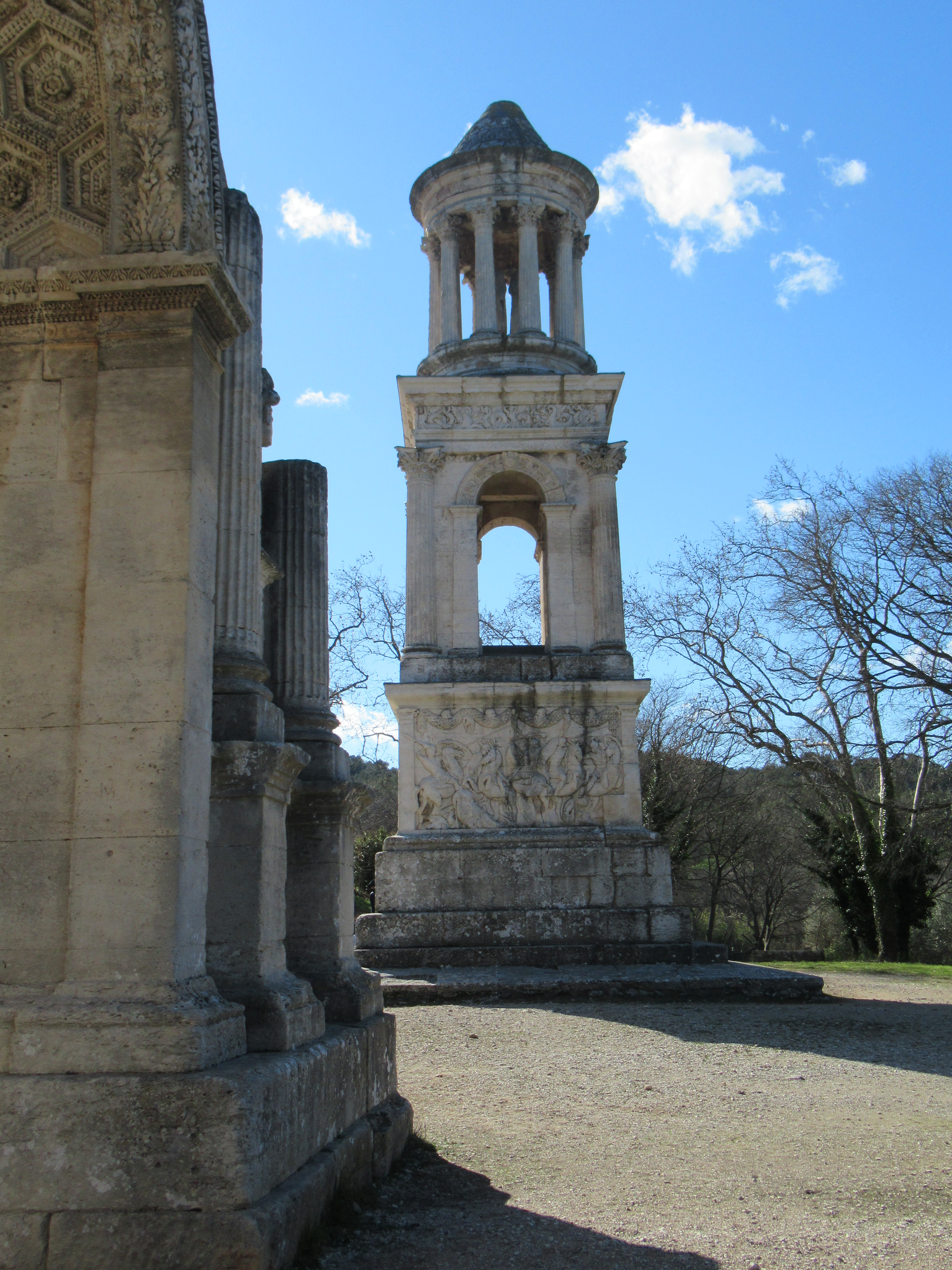
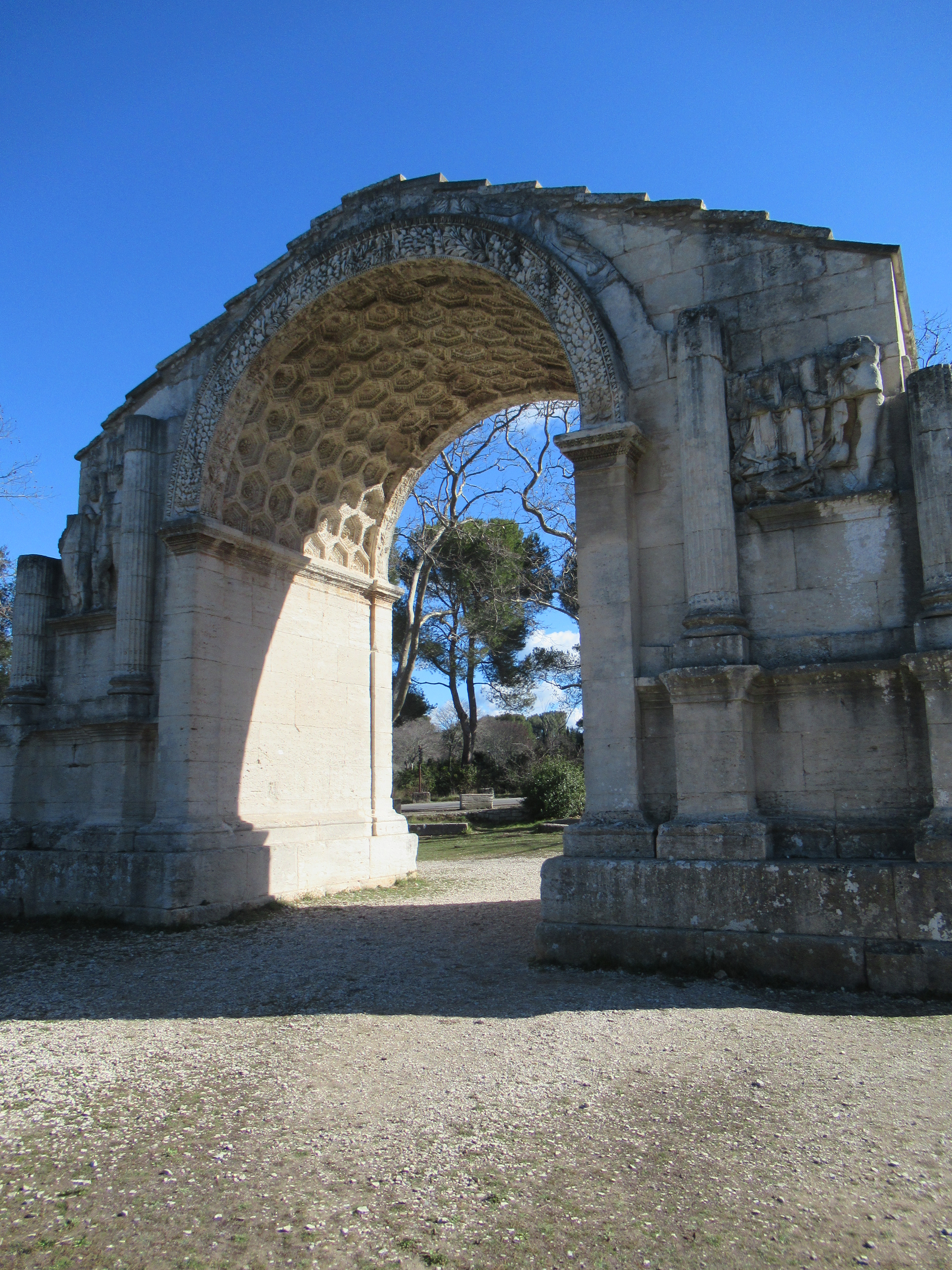
And here are the antiquities which for years belied the existence a of a roman city to hand. For example, when Vincent was here painting the scene above, the existence of the city of Glanum, which was discovered at the foot of the mountains, was unknown, despite the clues below.
After lunch, I continue with some difficulty as the Via Domitia becomes nothing more than a footpath.
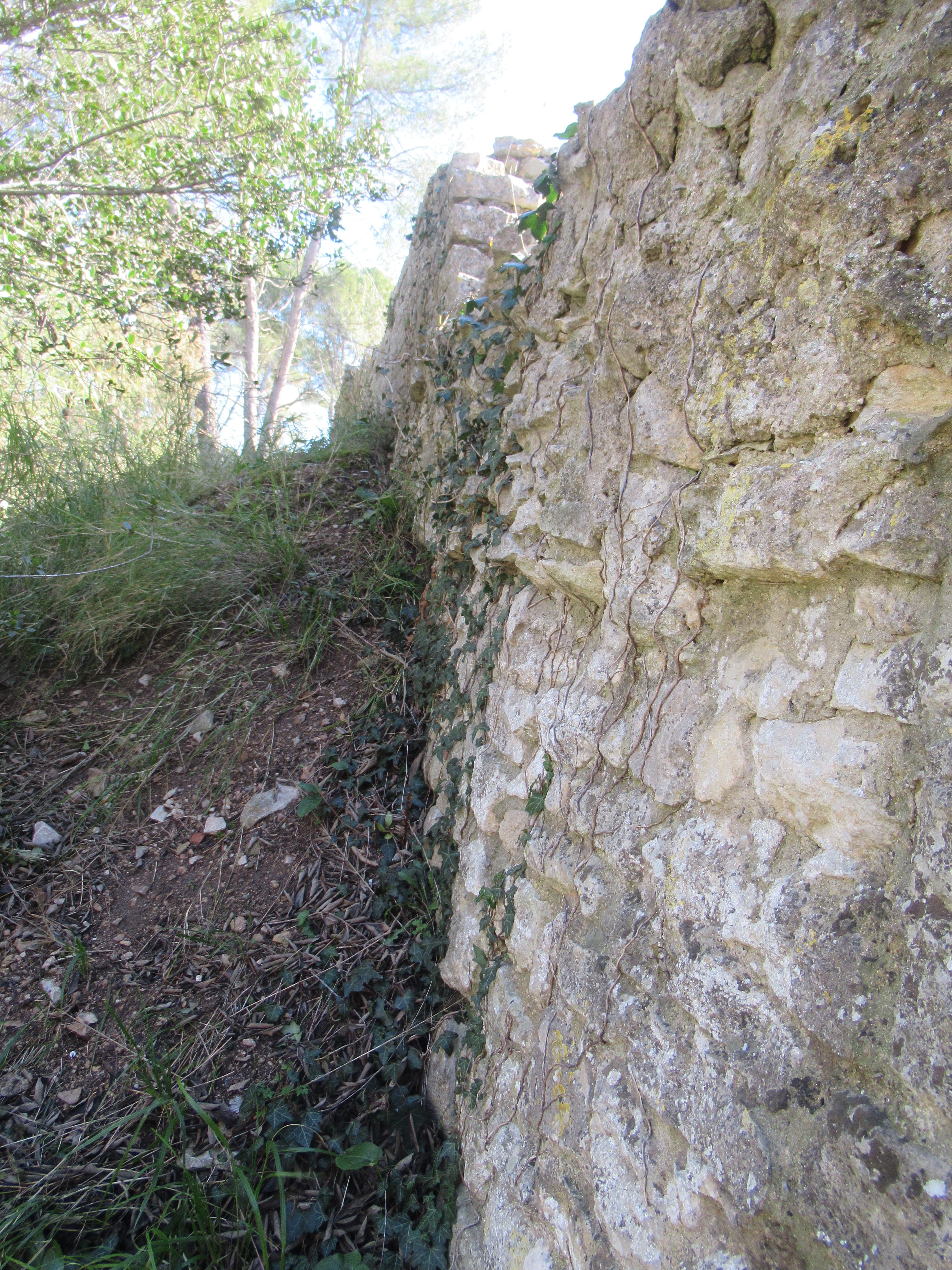
Despite having minimal faith in my path-finding skills, I spot the remains of an ancient wall; so old in fact that it turns out to be Roman and is known as Marius’ Wall. Originally, it was 75 metres long and 4 metres high and supported the access road to Glanum. I know this because, feeling I’d gone wrong, I retraced my steps and located one of those information panels that the French are so good at. I wouldn’t have completed my walk had it not been there.
So, climbing down beside the wall wasn’t the easiest bit of the ramble but it paid off as eventually, I found the route.
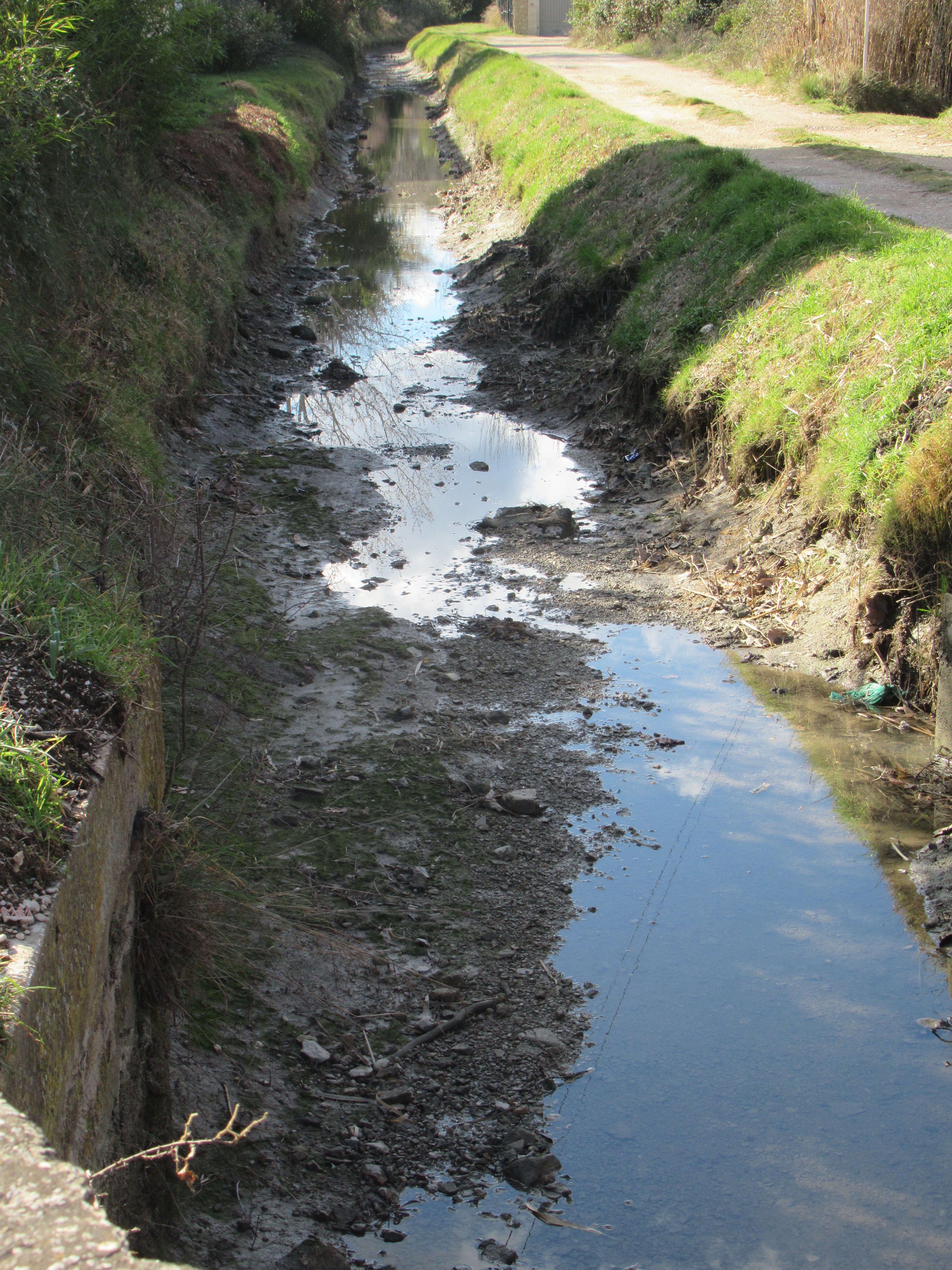
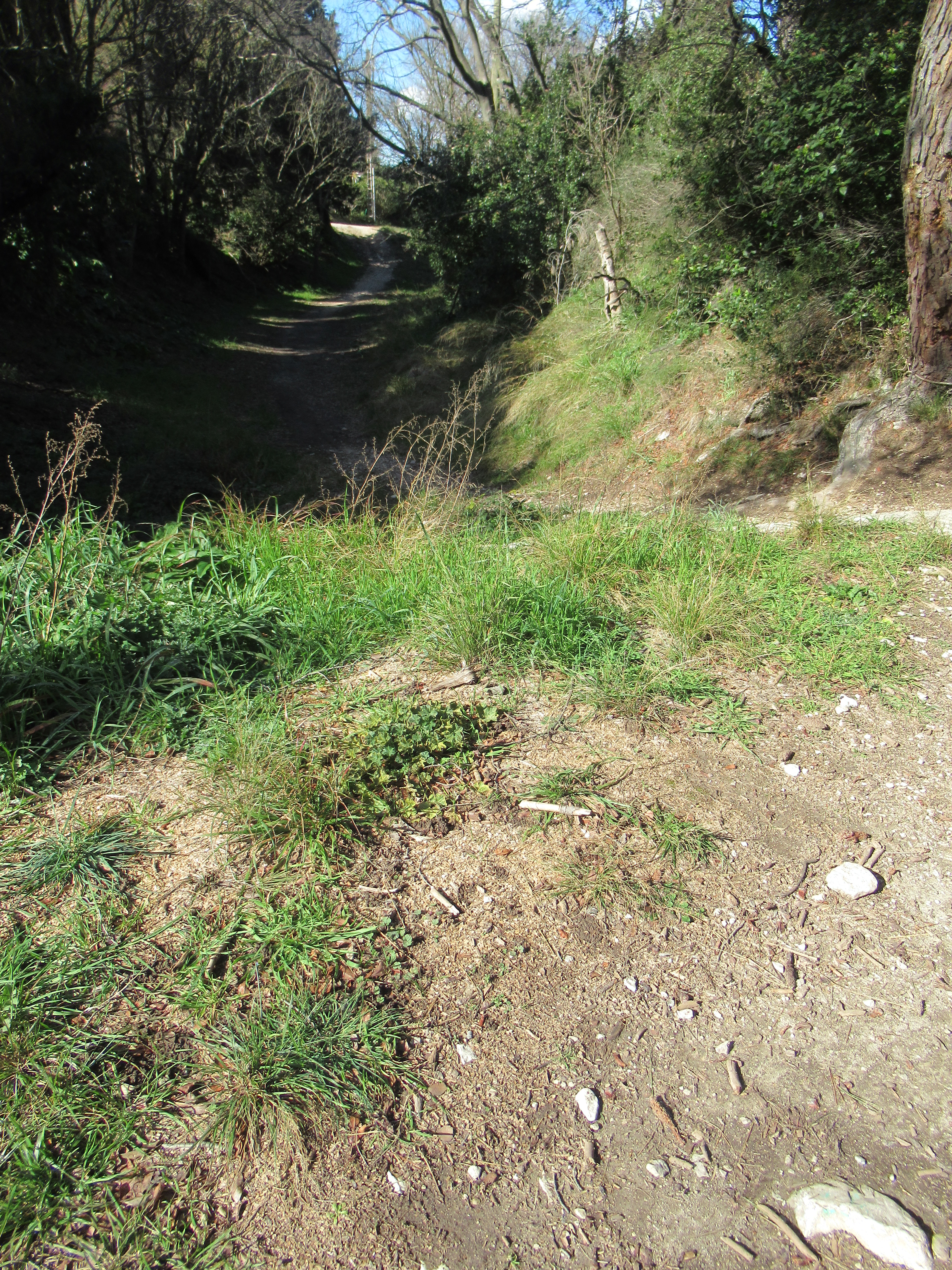
After that, the trail was easier to locate as it now forms the basis of ancient chemins that the locals rush along in their vehicles. Twice it crosses the Canal des Alpilles which, you’ll agree, isn’t the most scenic of waterways. Still, it was part of a really great walk along this ancient way.

Love the look of this work and would love a copy of the map or to know where I could get it from.
I mean walk not work…lol…although it sounds like it could be work finding my way