The Ox Drove


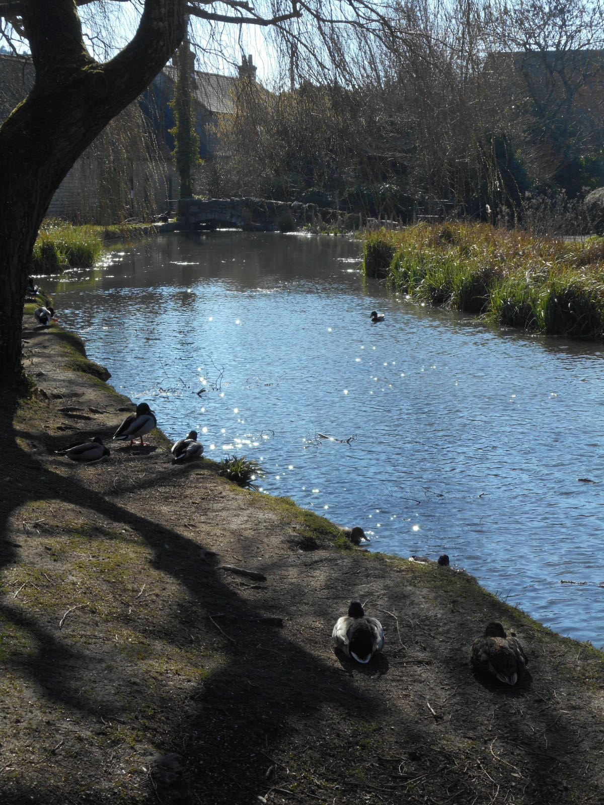
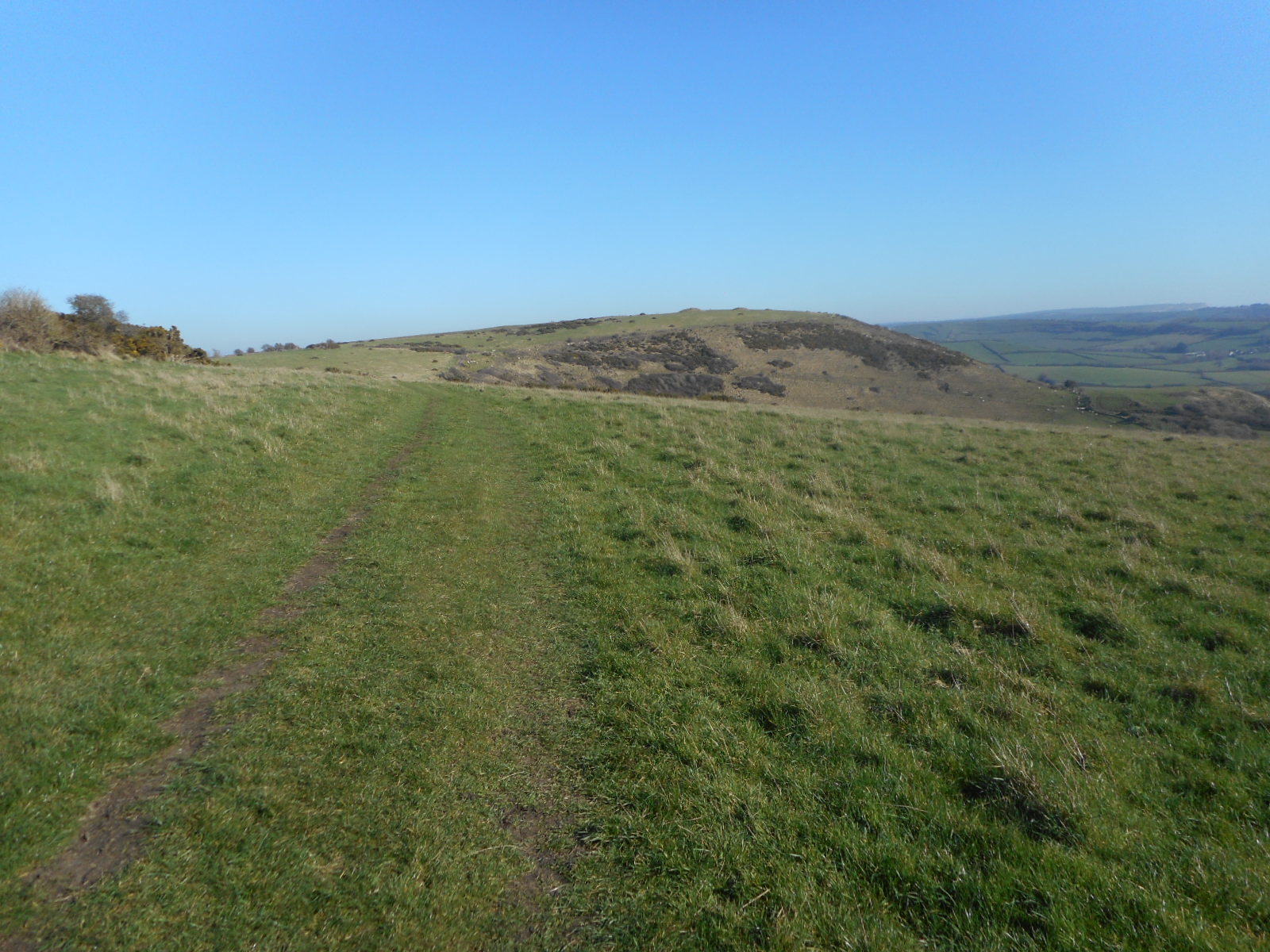
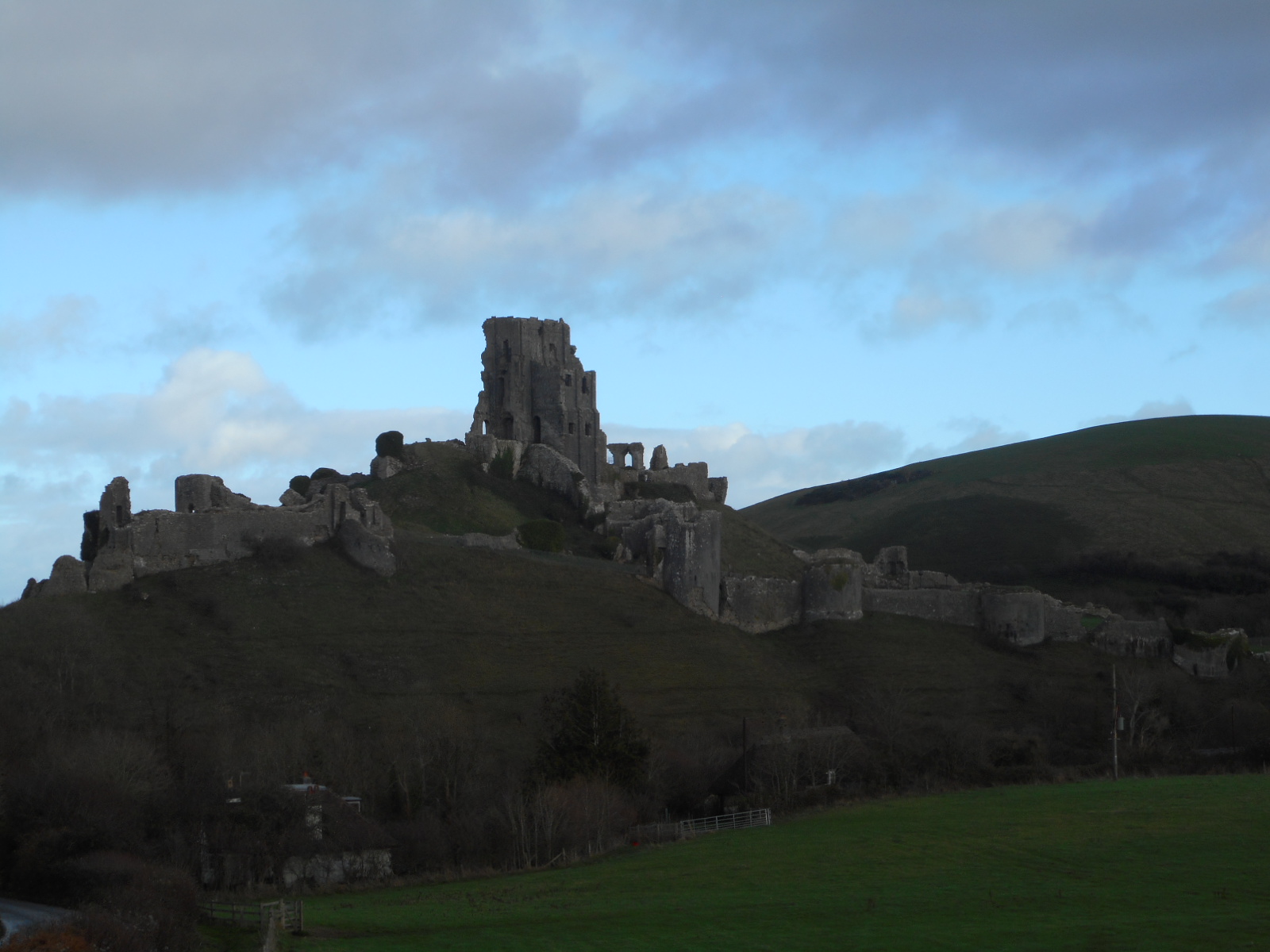
Some time ago, I became involved with Friends of the Ridgeway in exploring the accessibility, or otherwise, of a new leg of that famous route. Wires became crossed – I thought I was to research a link with the South Dorset Ridgeway when, in fact, the proposed route was along the south Wiltshire/north Dorset boundary away from my preferred seascapes. The geographical distances made it difficult for a lone walker so I enlisted the help of my trusty walking companions. Today, in yet more February sunshine, we walked the Ox Drove.

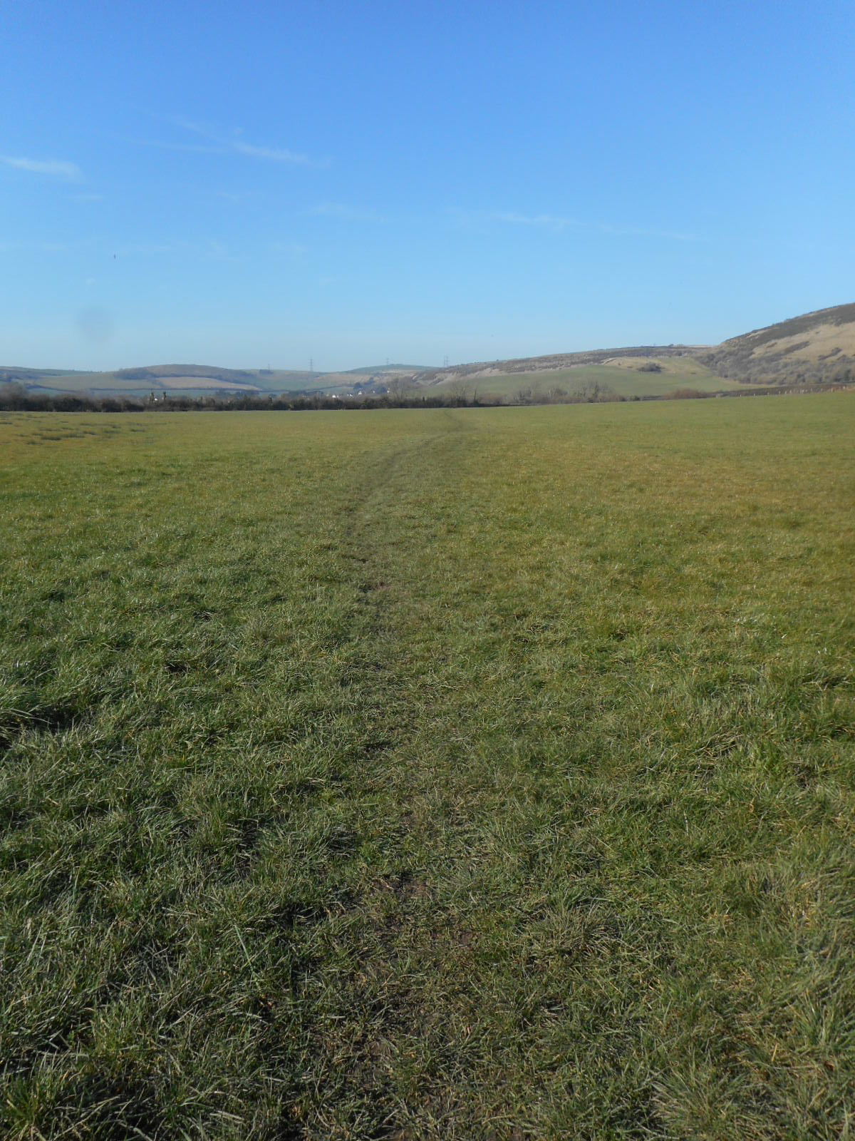
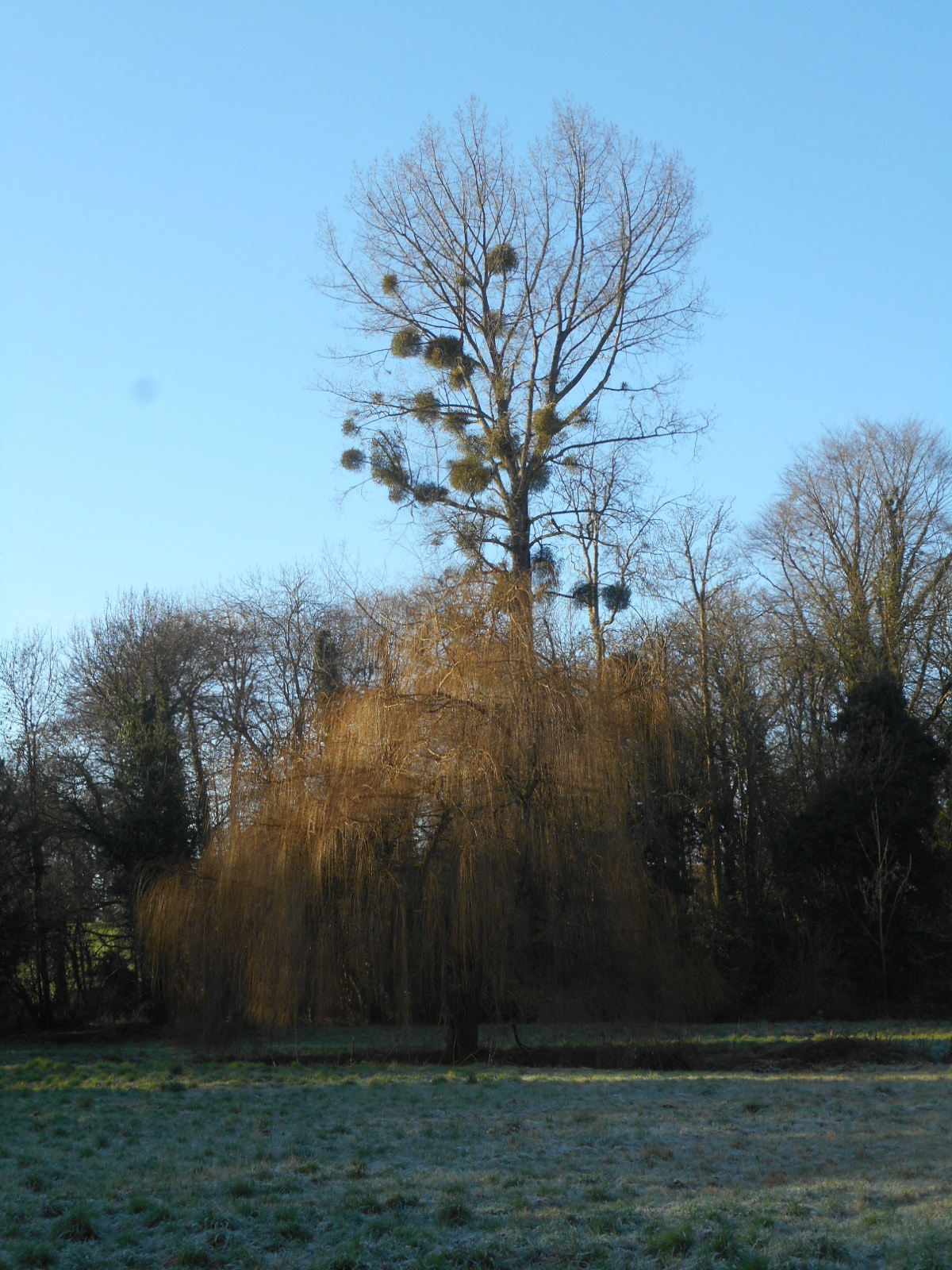
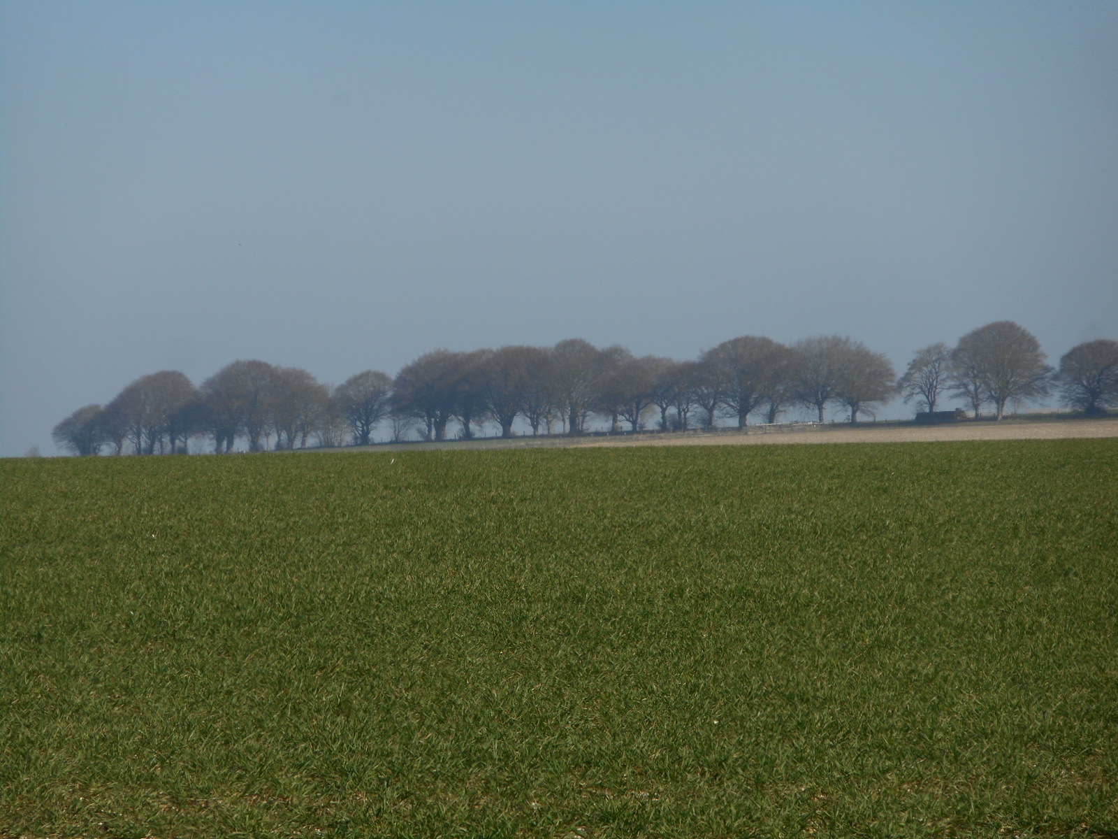
To be truthful, I wasn’t entirely sure what an ox is or was. I had vague recall of a book called Brother to the Ox but fear I’ve never read it. This literary omission will be rectified toute de suite. They pretended to know but I’m not convinced. Anyway, we begin north of Cranborne Chase on this ancient stretch of way that extends from Salisbury to Shaftesbury. Perhaps the oxen were driven to market in either of these towns but, as we walk, I am minded of transhumance which I had once thought to be a provencal phenomenon but is actually a generic term to describe the seasonal moving of animals from low to high ground and back again. And we’re very high up.


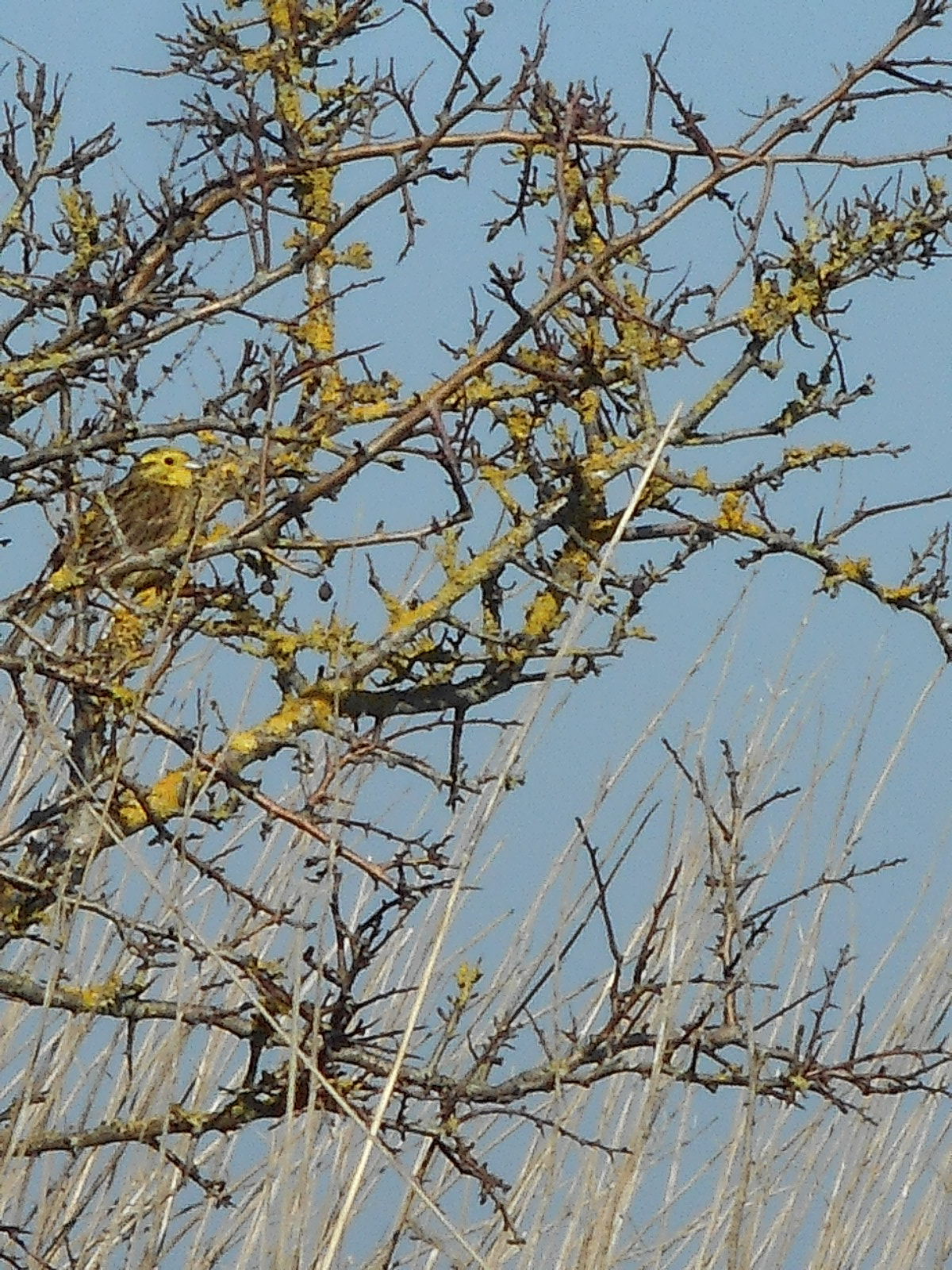
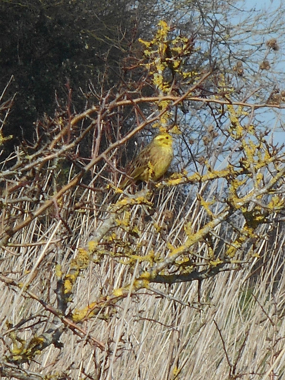
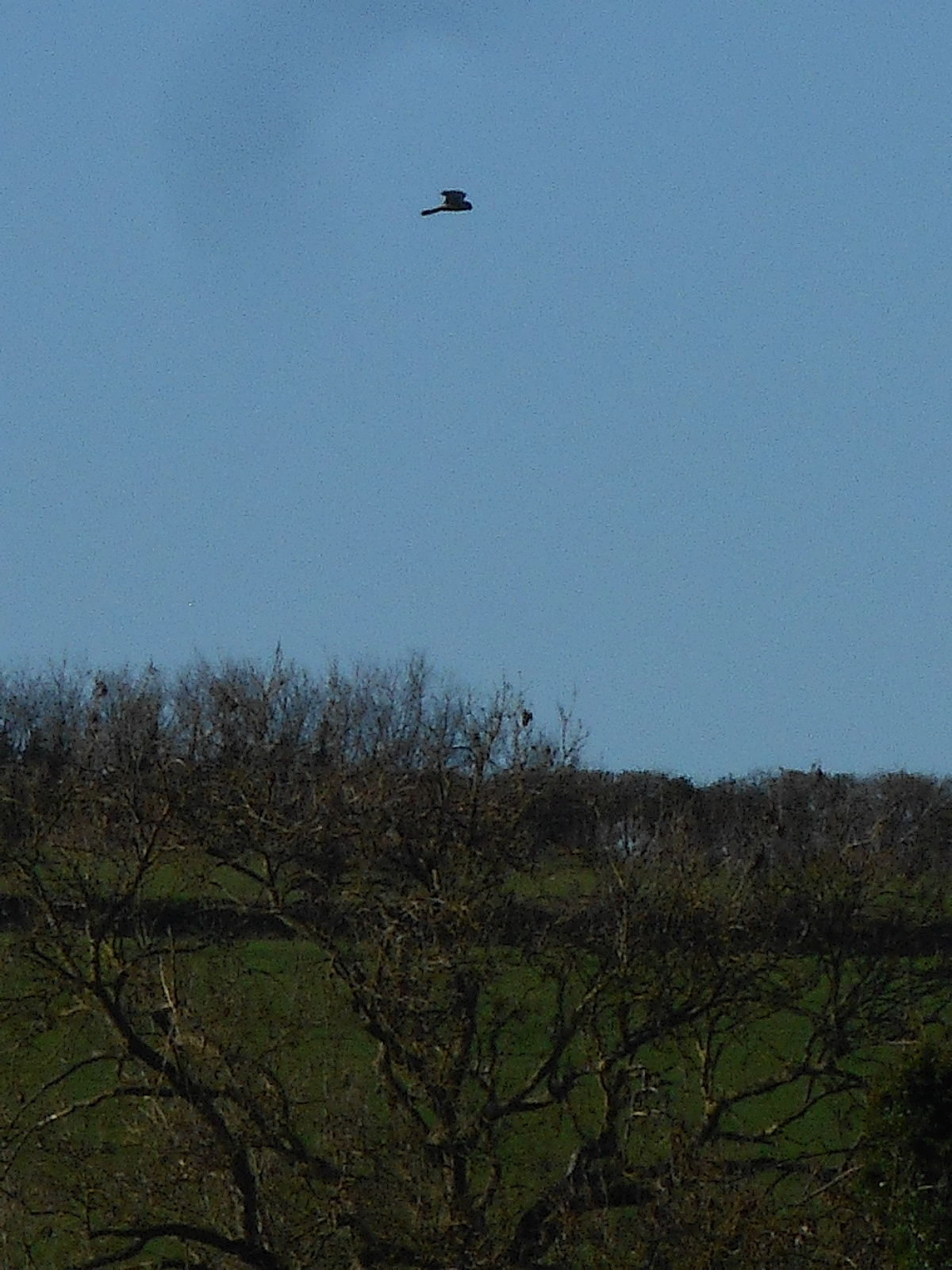
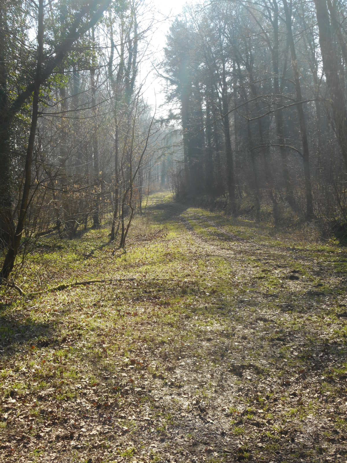
It seems that no sooner have we started than we leap off piste for reasons that will shortly become clear. Personally, I don’t mind: I’m not a fan of woods, even those with alleged important archaeological goodies within. I’m happy to be out on the sun-soaked hills and it’s not long before a treat appears in the shape of a yellowhammer. I’ve only ever seen one before but it transpires that there are several of them up here. We creep up on this one who is suitably open to a few lucky snaps.


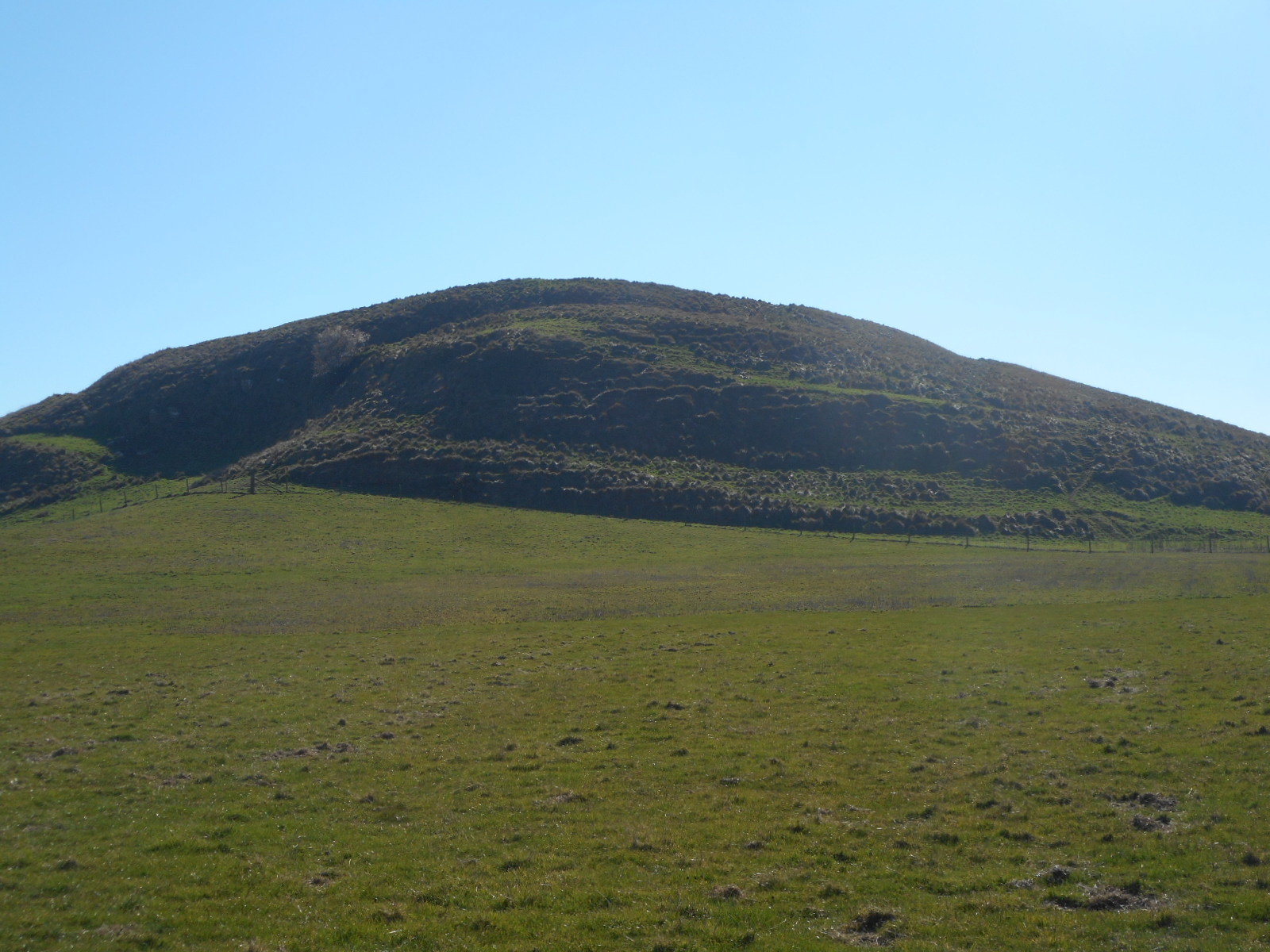
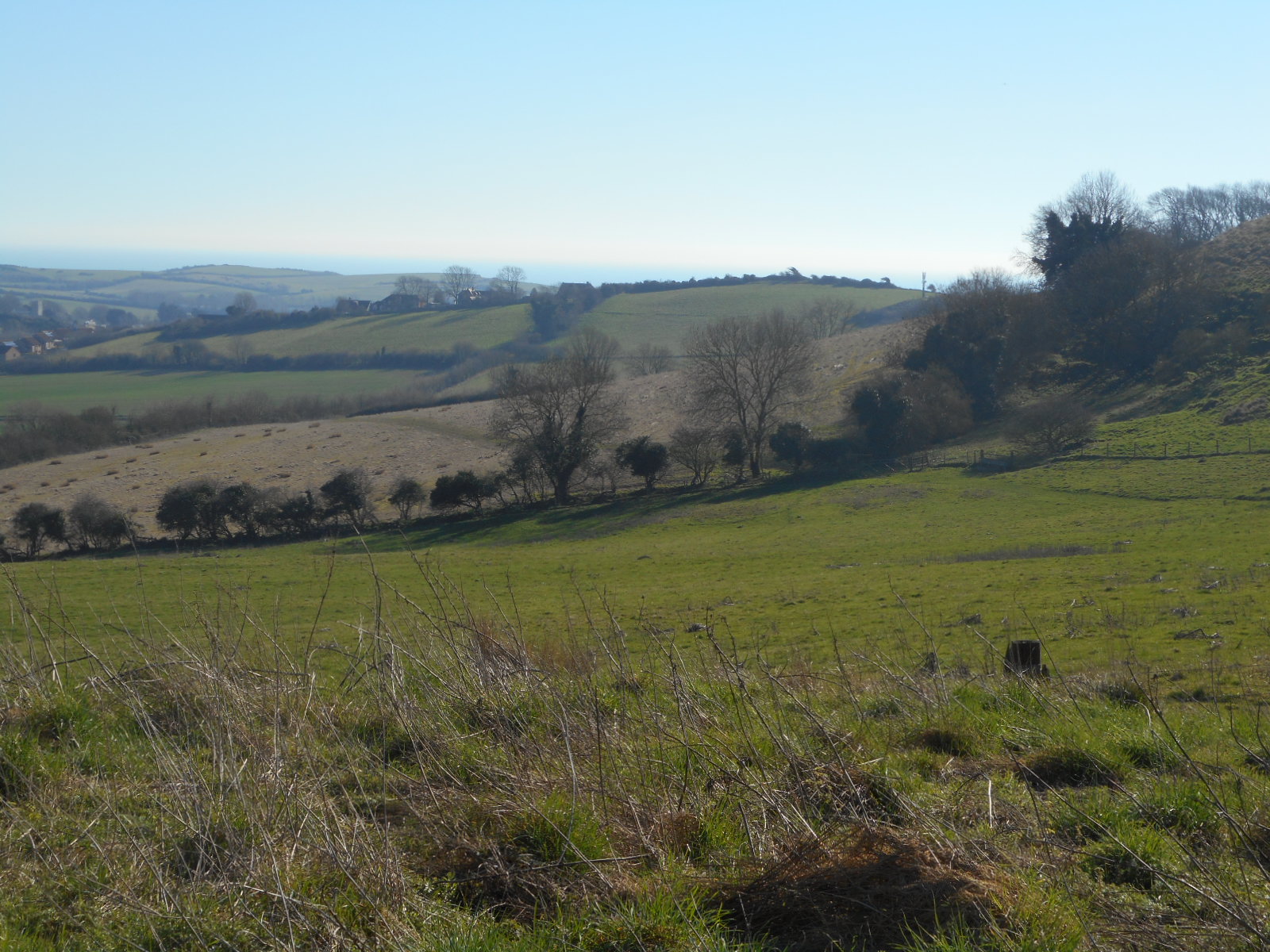
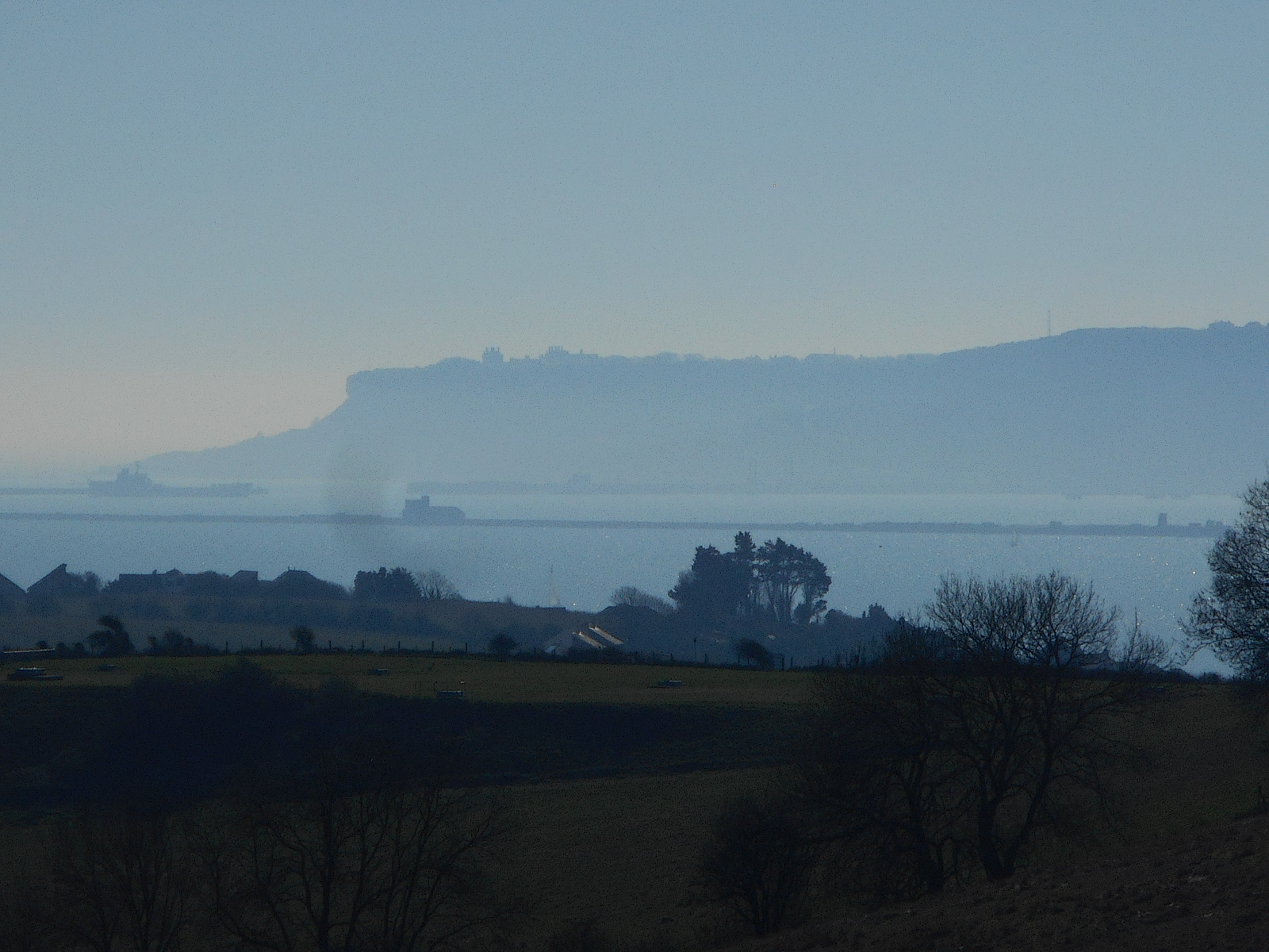
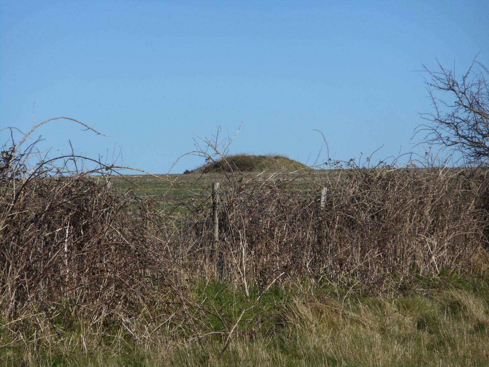
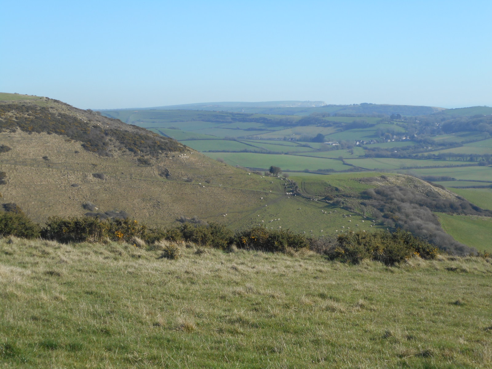
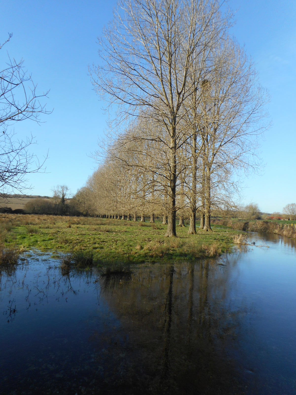
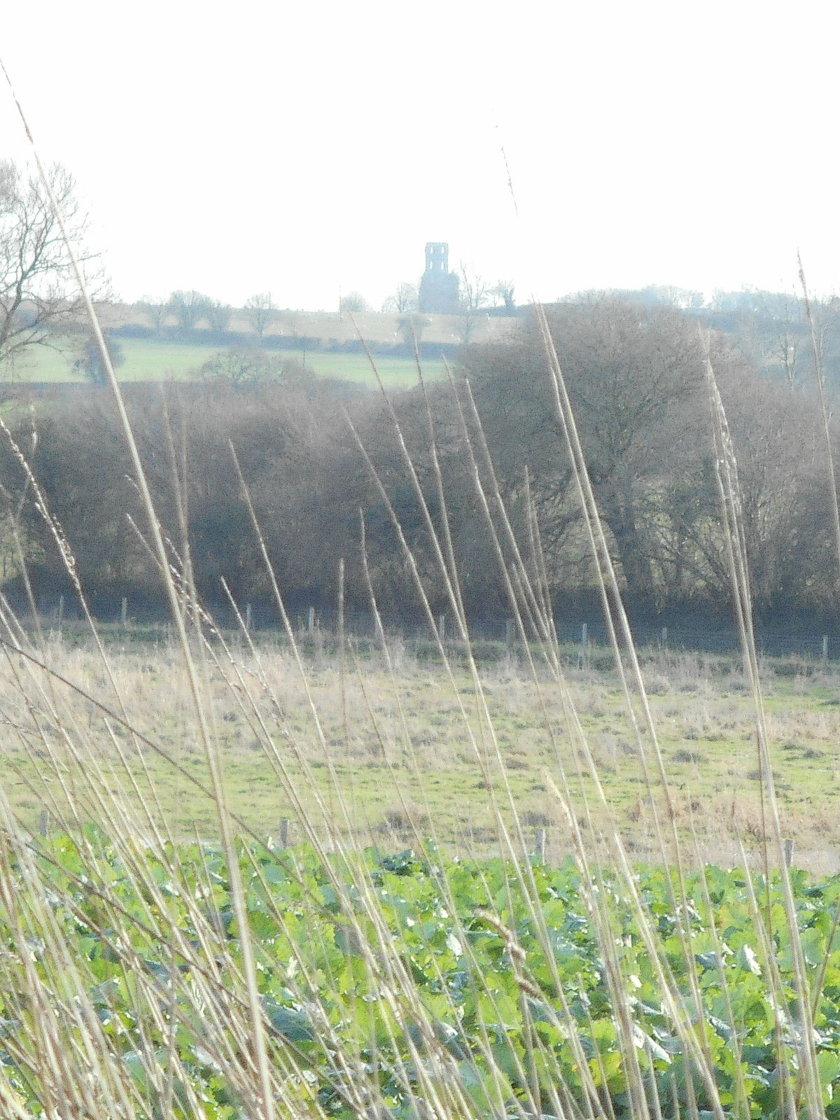
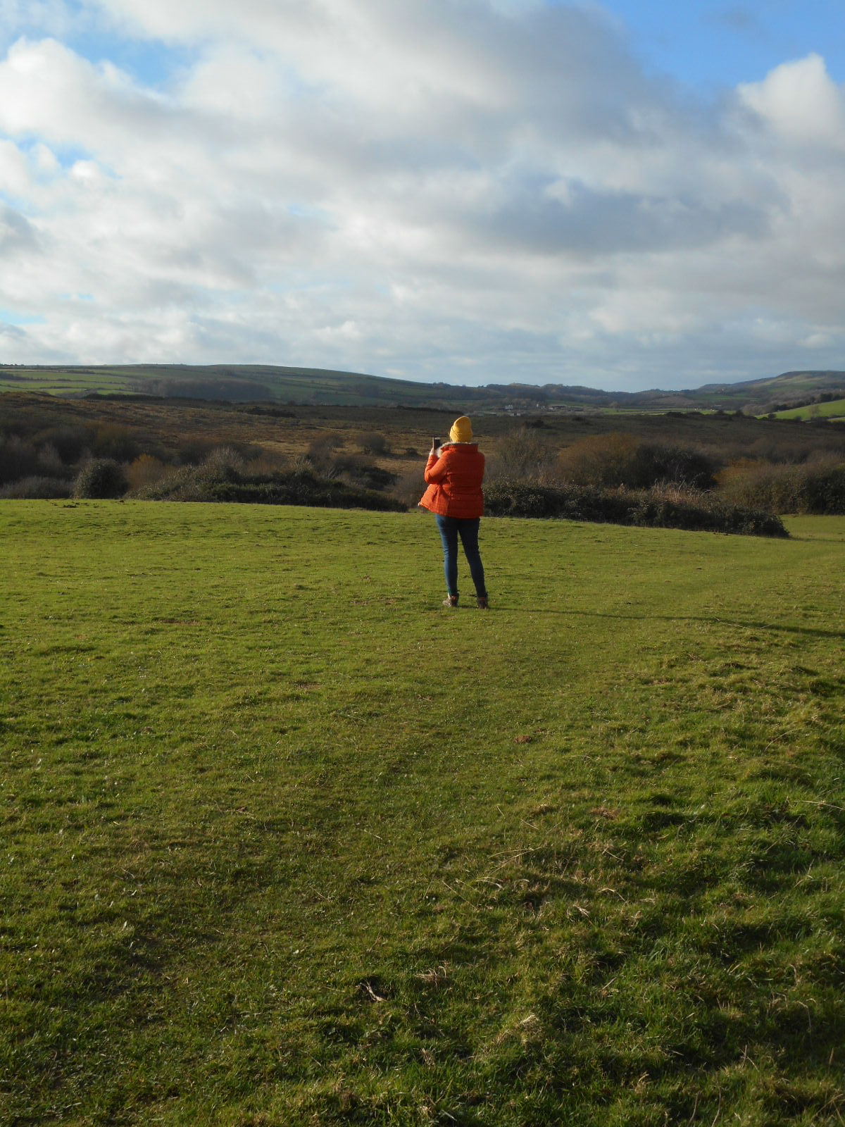
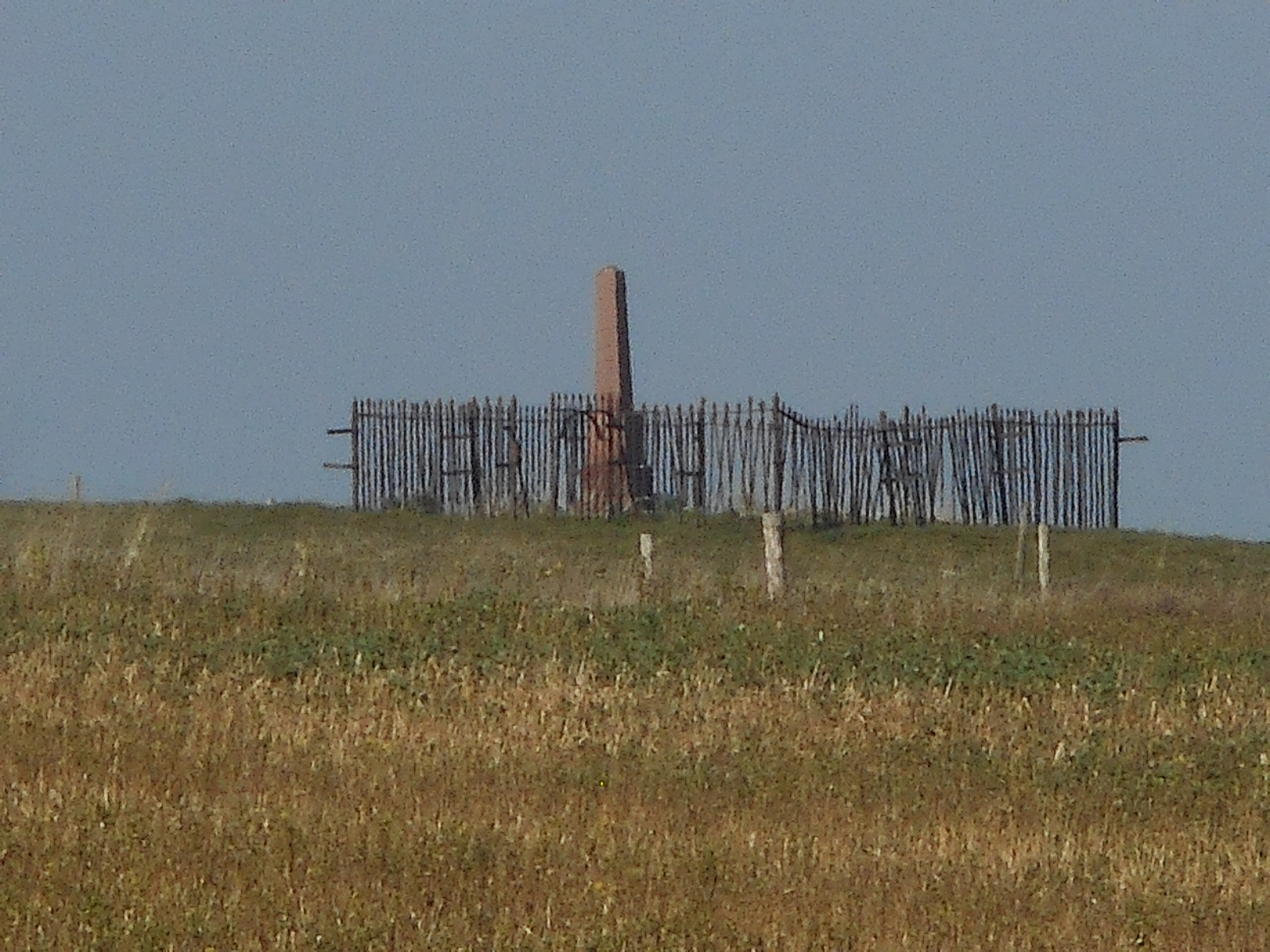
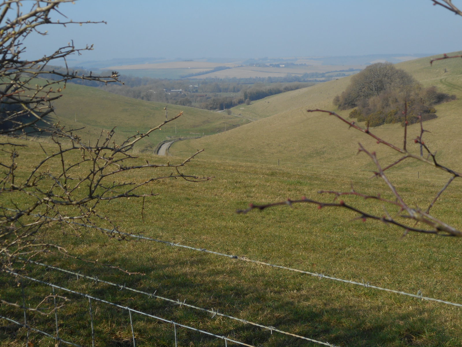
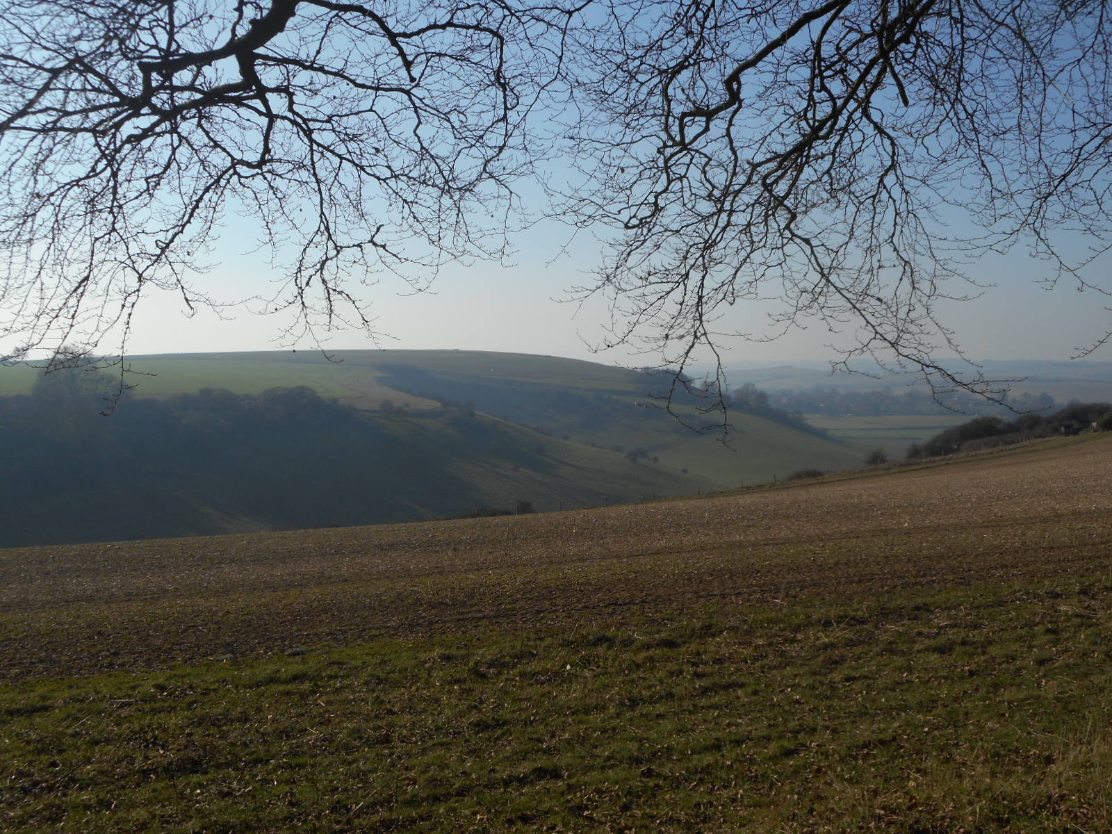
The heat haze refuses to dissipate for the remainder of the day. Nonetheless, what we can see of the views is stunning. In particular, we espy a strange stone in the distance which transpires as a sculpture of a stag. Sadly, I cannot find any information about this entity which seems impossible to access: a challenge for Weasel readers perhaps.

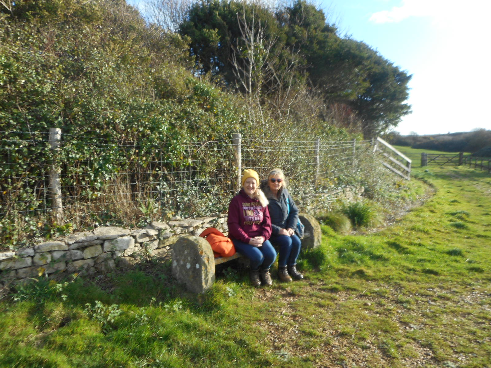
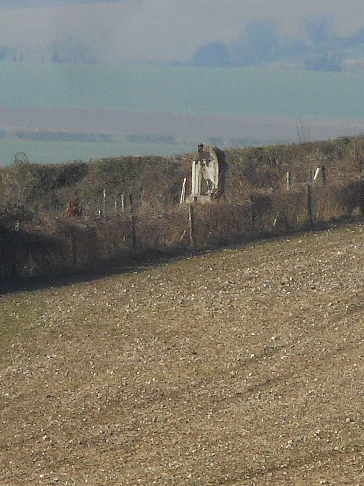
The reason we took this open air detour is because my map reading friends have spotted a memorial in evidence. Well, somebody wanted to remember someone else (Weasel alert) up here in the middle of nowhere where he could overlook his farm and the watercress beds he laid. Much later, in a desperate attempt to find a cup of tea, we pass by the watercress in one of the Chalke villages. Unfortunately, we were back in two cars and I was following Sally who was trying to break the sound barrier so there was no photo opportunity.


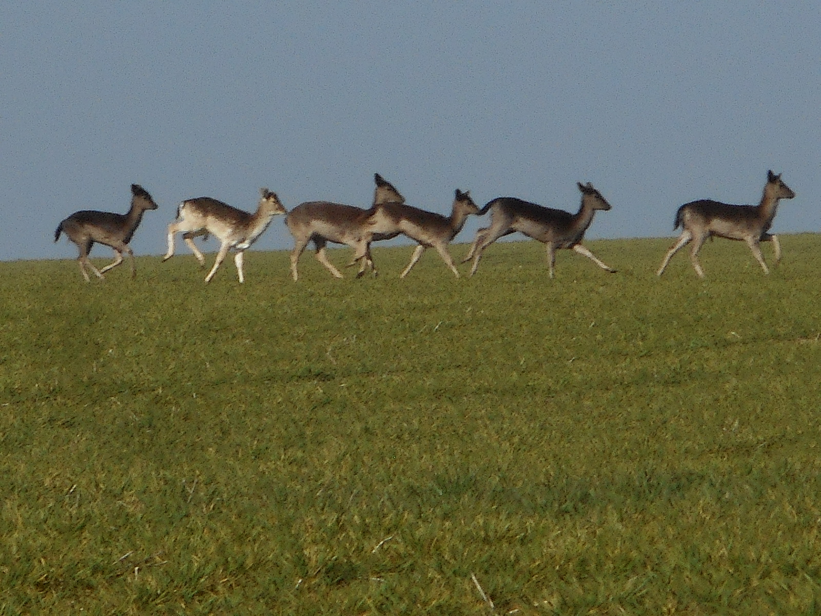
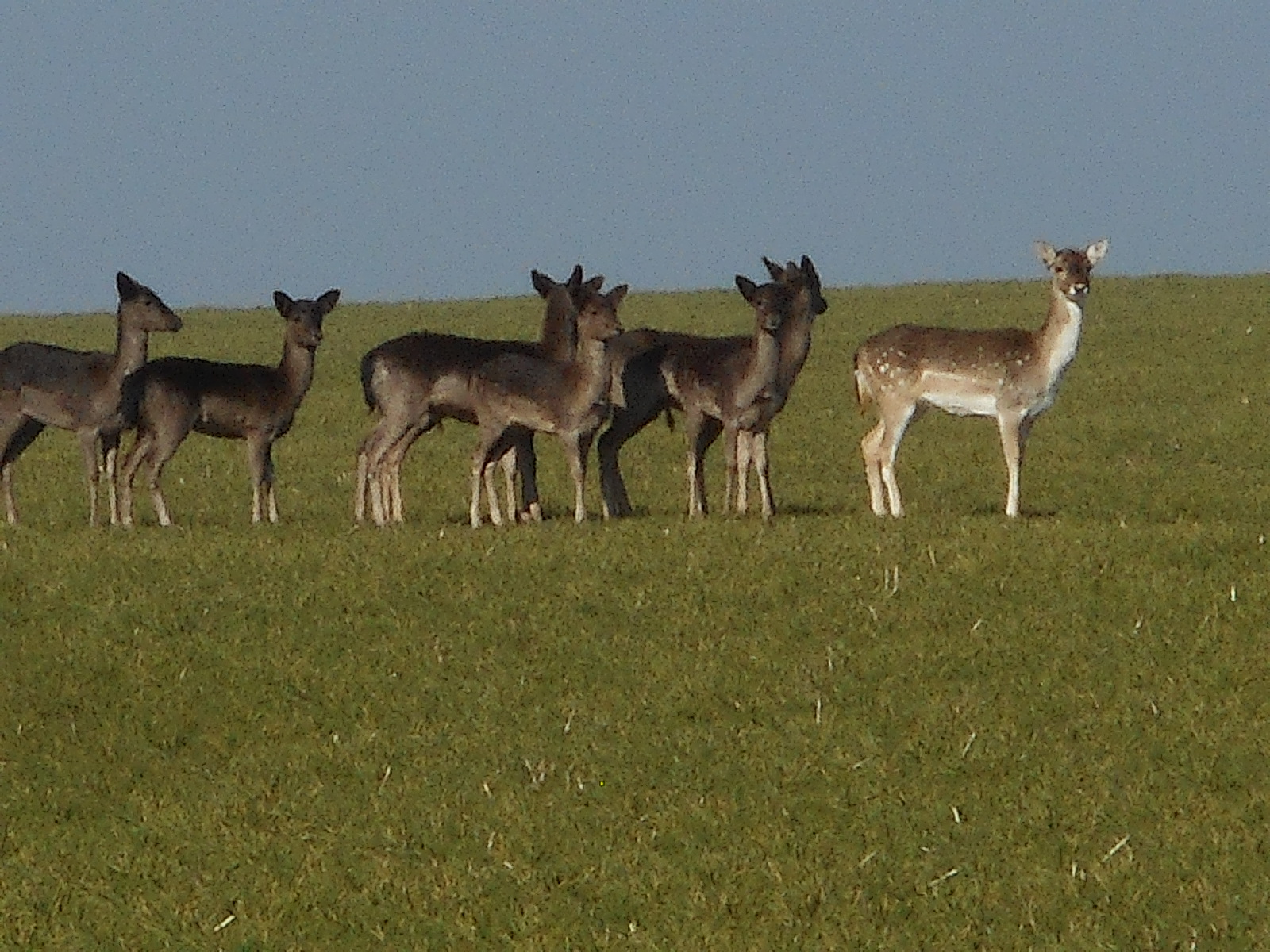
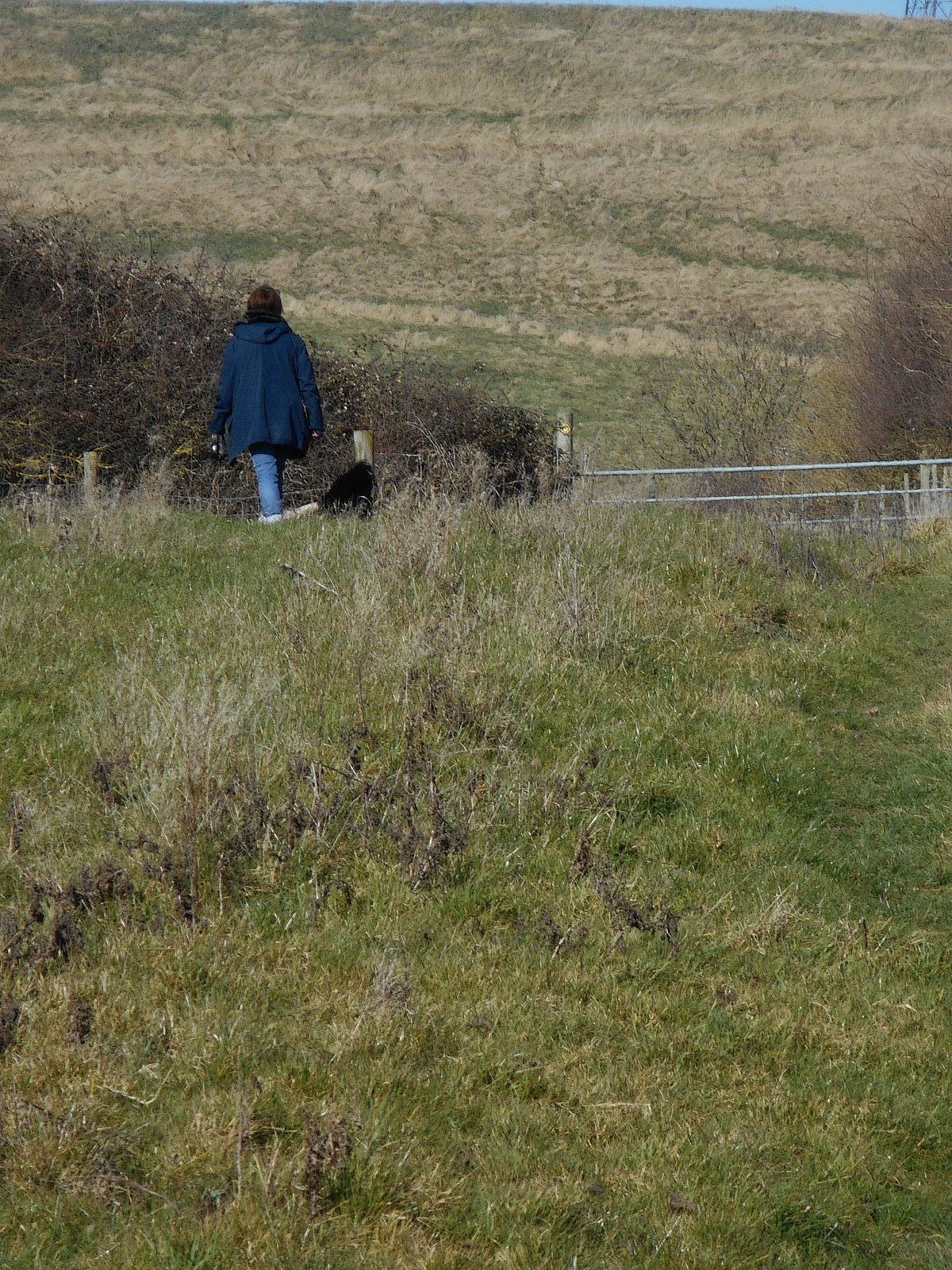
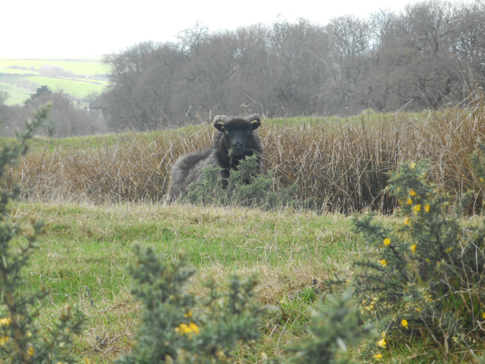
Back on a ridiculously muddy track, Sally calls a halt to the incessant plodding. She has espied this wonderful herd of very confused young deer. They are so beautiful that we spend a long time watching them rushing around before Tony points out ‘been there, done that’. Yes, we’d much rather slip and slide through eons of mud.


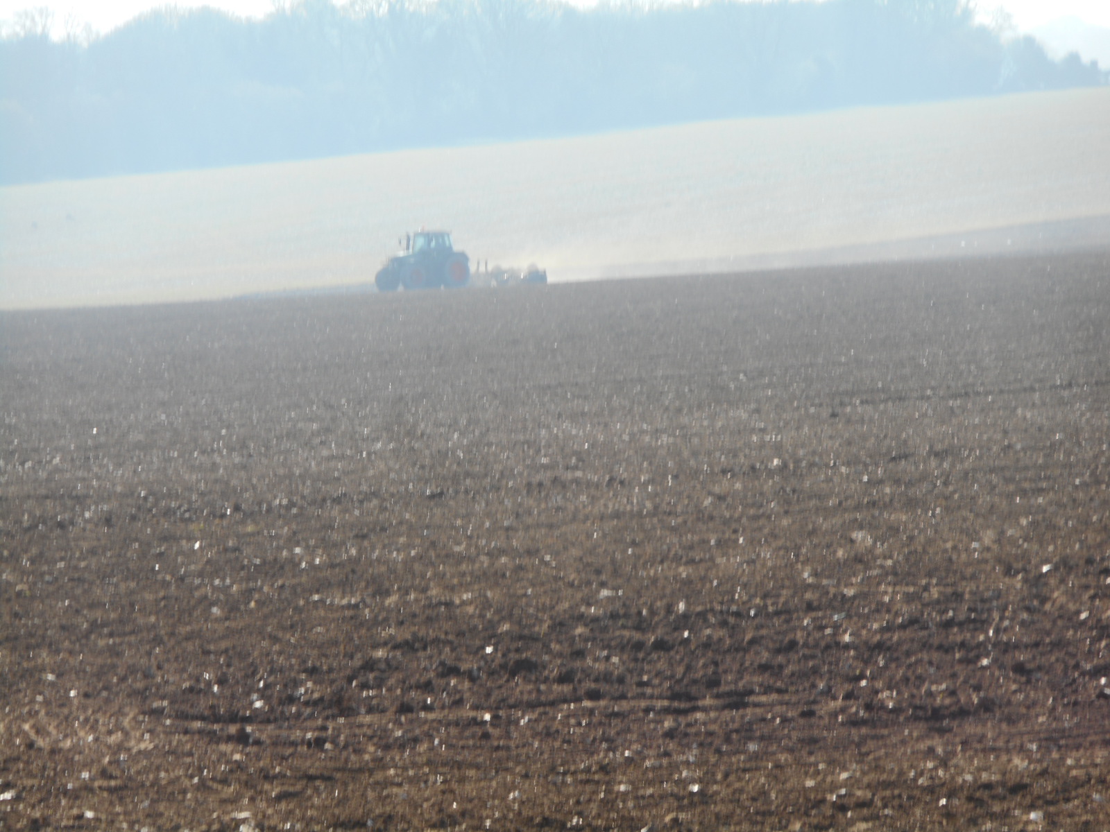
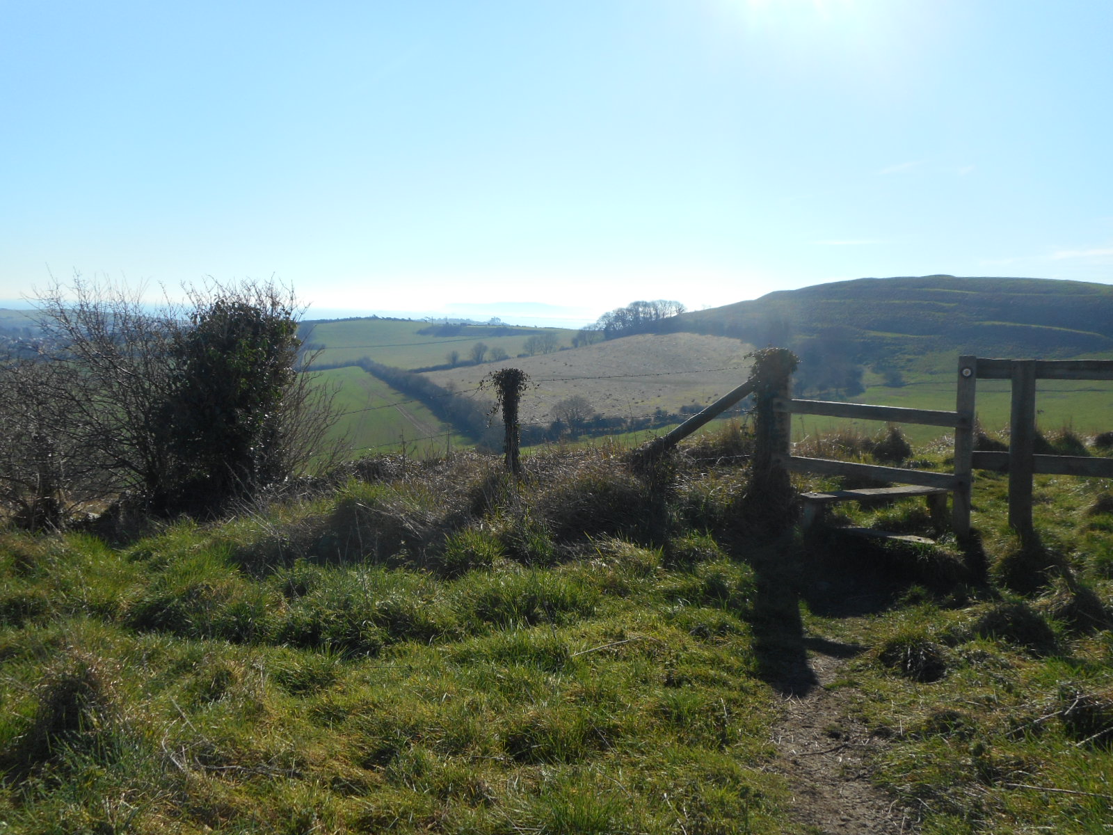
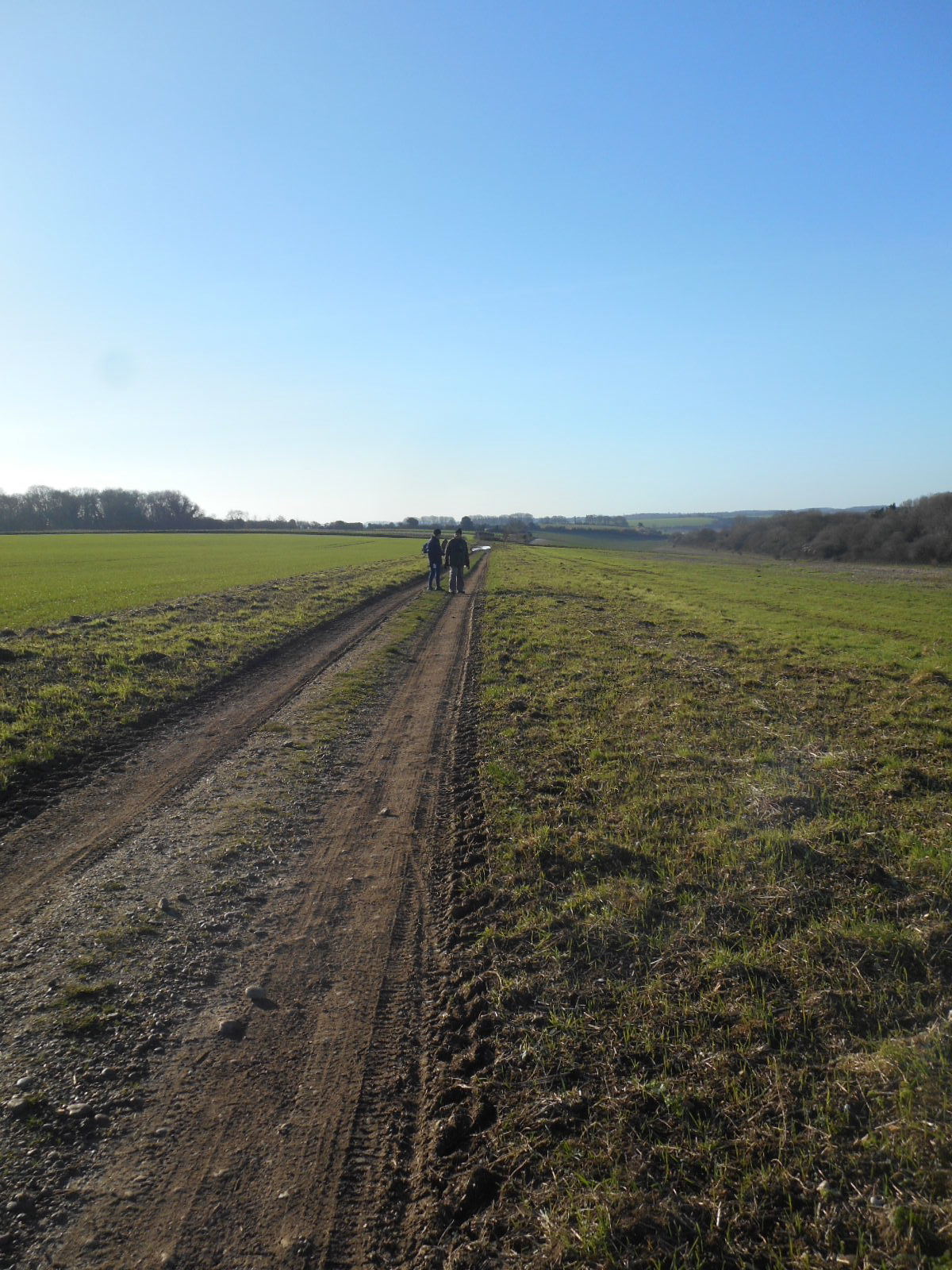
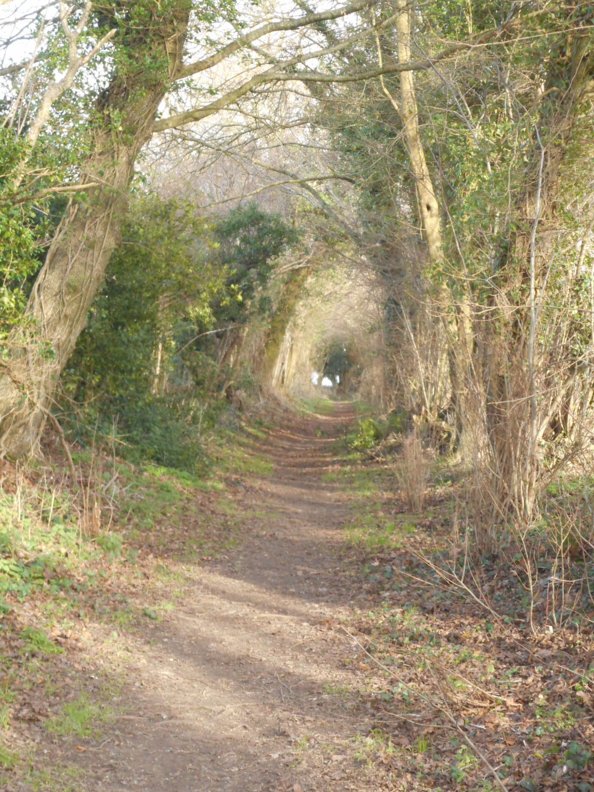
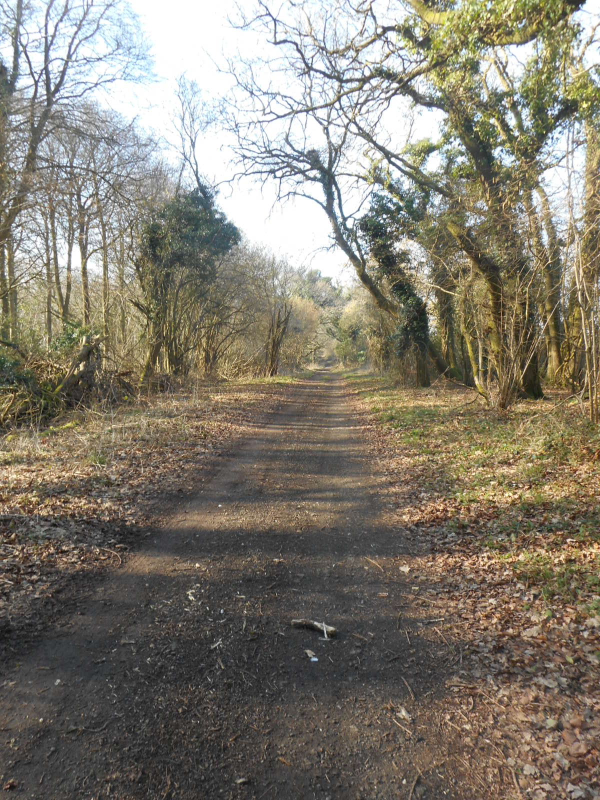
On our walking instructions, the author offers us a less demanding path. Sadly, all three of us miss this. I explain to Sally that, as I live alone, I never stop talking the minute I meet up with someone. This will explain why I’m not concentrating properly on the route. I don’t know what their excuse is. The path is just too much like hard work and we venture past a gap in a barbed wire fence, down the edge of a field and follow Tony through an extremely overgrown wood to emerge onto the path we should’ve joined earlier. Here, the countryside is extremely busy with tractors and we wander on to a suitable verge on which to eat our picnic. It’s so warm that Sally complains of sunstroke and I feel like a snooze.

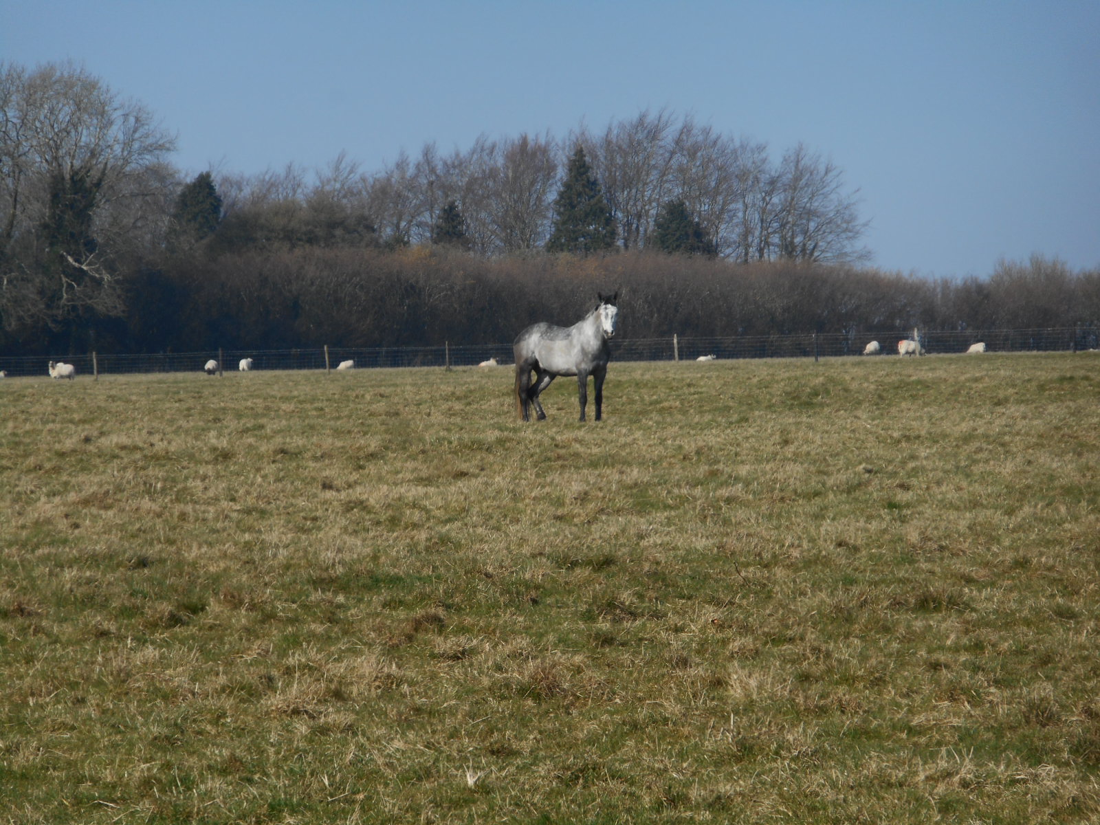
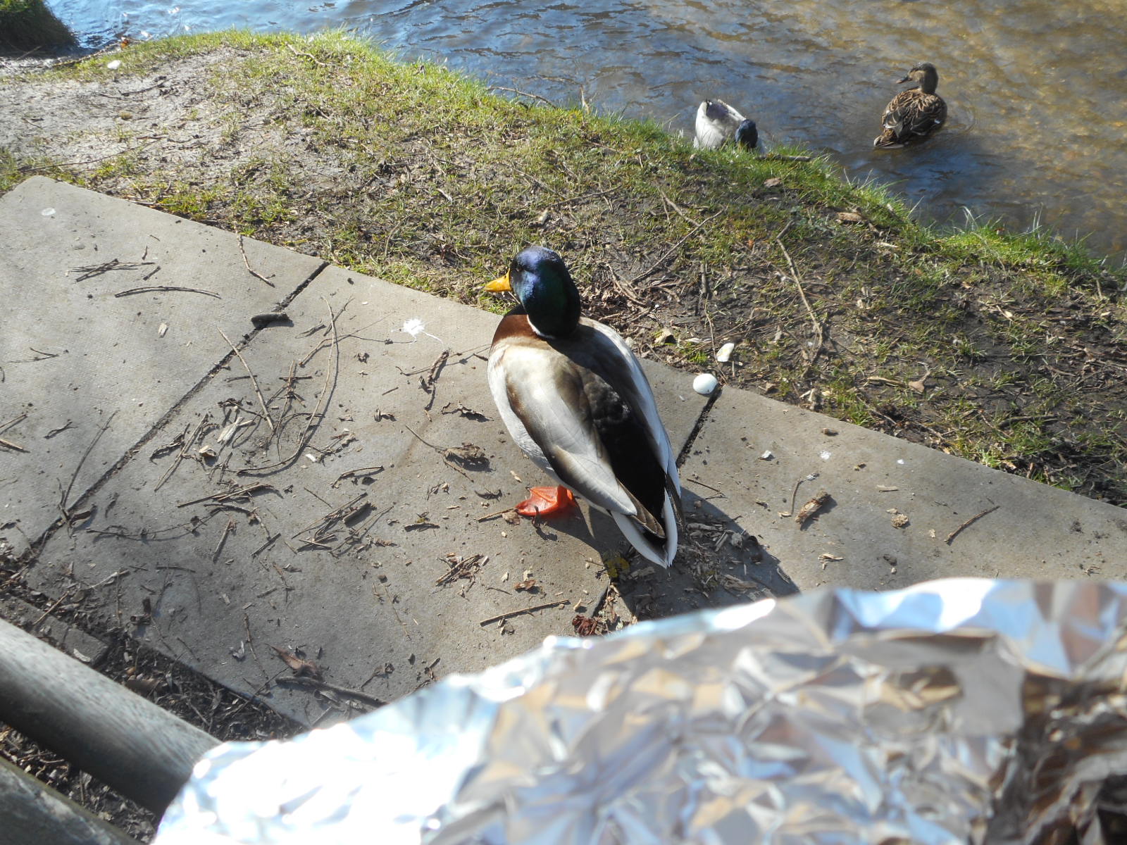
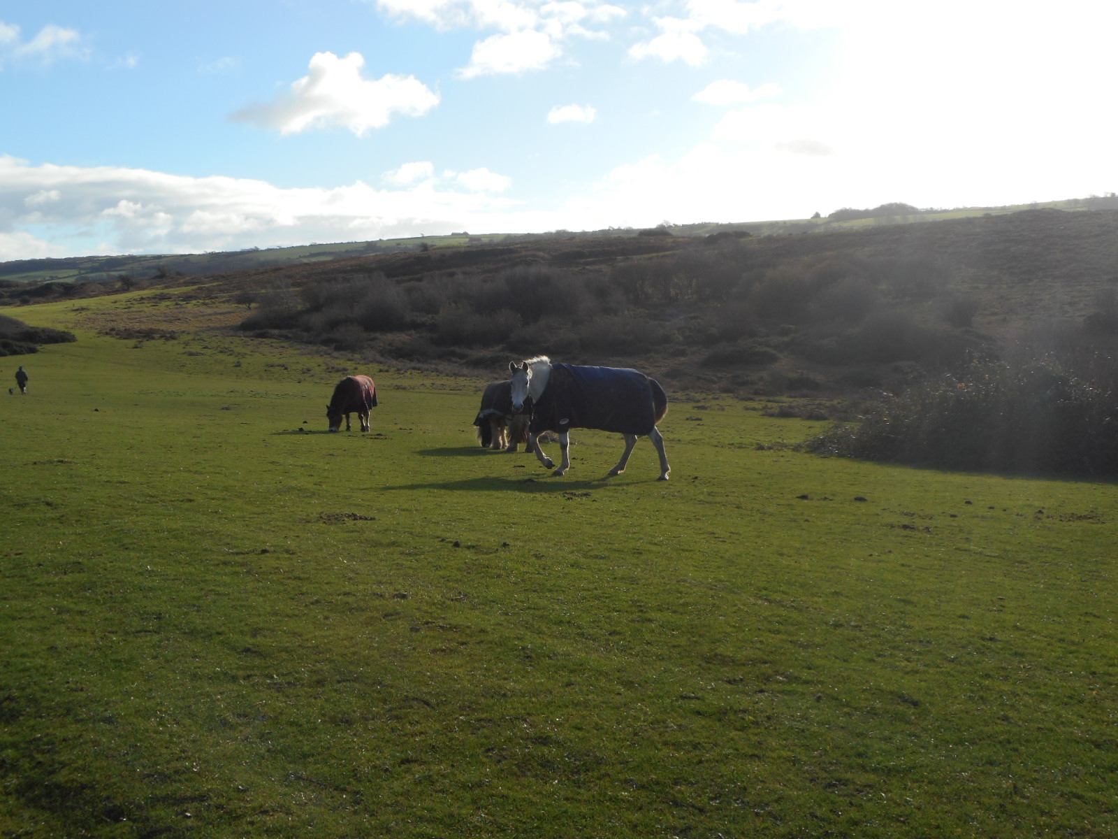
Next, we have to walk through a field of horses. I am a little nervous and hurry onto Stonedown Wood which is full of snowdrops.


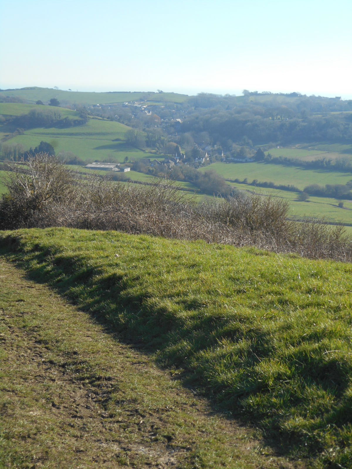
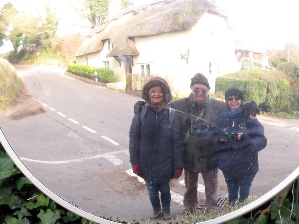
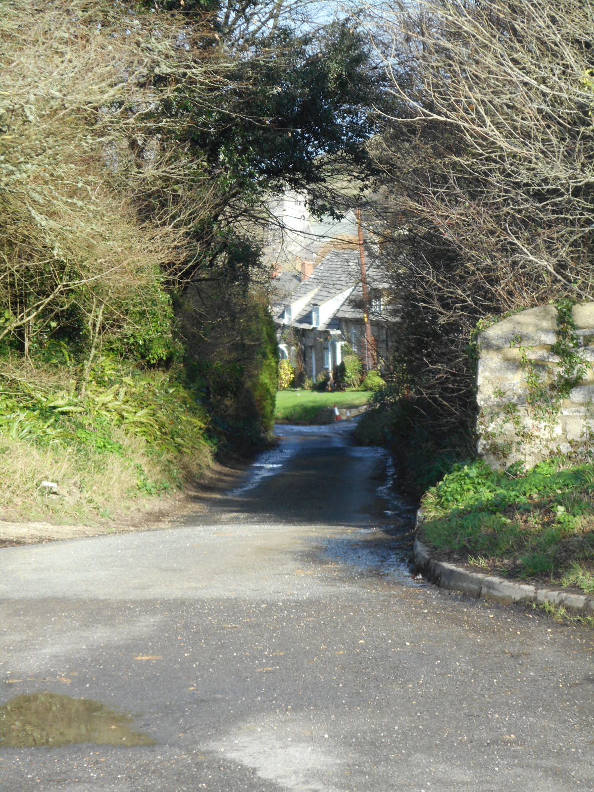
Eventually, we reach journey’s end and look back on yet another glorious walk in our treasured county.


Cracking countryside


An auspicious day: allegedly, it’s the hottest February day on record; but records only began in 1918 and I can’t believe they didn’t have a few variances in the dimmer past. Nonetheless, I’ve finally discarded the winter coat in favour of denim jacket to begin my walk at Osmington. Even though I had little idea where this place was when I set forth this morning, I’ve been wanting to come here for some time, encouraged solely by a solitary photograph I saw last year in one of those free magazines.

It’s Miss Marple country – full of delightful thatched homes with names like Fossil Cottage, Wessex Cottage and so on. And here’s the pretty Victorian water pump that I’m supposed to espy as a way marker. Sadly, I misread the instructions and wander along the wrong path for a while after this. I might’ve carried on and found my own way but the fields are full of beasts so I retrace my steps and quickly find the route I’m supposed to take further down Church Lane.

Immediately, I emerge into open countryside beneath the chalk carving of George III on his trusty steed, created in 1808 to mark his visits to nearby Weymouth where he enjoyed riding Adonis across the Ridgeway. My instructions warn that the way will be muddy – which it is – but this will be counteracted by the views. Correct.


To my left, a Sparrowhawk is enjoying the remains of some indeterminable detritus, whilst to the right, the River Jordan struggles along. I was once lucky enough to visit the ‘original’ Jordan at a point where the Israelis watched over us from the other side. It wasn’t a great deal wider than this Dorset incarnation, named through some obscure etymology, but somehow less threatening. And here is the long path I must take – daunting I suspect in more adverse conditions but a joy in today’s sunshine.


Sutton Poyntz, when I eventually reach it, is also a joy. There’s a spring above the village and it seems as though every building has an accompanying water feature. This is Midsummer territory and I sit on a handy bench to share half my picnic with a local feathered inhabitant whilst I wait for Inspector Barnaby to appear. Afterwards, I take a gentle stroll through a number of lanes. Gentle because I feel there might be hard work ahead.

Firstly, somewhere near Sutton Farm, I meet Gus and the woman who’s walking him today who tells me she’s a professional dog walker. Four a day, apparently. Well, she’s not that professional as, having told her to ‘stroll on’, a euphemism for ‘there’s no way I’m rushing up this incline’, she totally fails to notice that Gus, who keeps looking hopefully at me, is having a massive roll in some fox poo. Oh well, someone will spot that later.

And this is Chalbury Hill Fort which we’re all ascending at our own speeds. Chalbury, being 380 feet above sea level, is one of the oldest known of it’s type, dating from 800BC. Fortunately, it’s over and done with in a reasonable amount of time. I spot Gus and the professional from time to time walking in various directions before going back down the hill from whence they came.


Being anxious to ascend the South Dorset Ridgeway, I am careful with my directions. I take longer than Gus’ guardian but at least I’m going somewhere. The views are astounding. Tiny birds, in pairs, make unexpected appearances and although I capture one or two in my lens, I have no idea what they are. When I see Portland and Weymouth in the distance, I sit, like Miss Muffet, on a tussock and eat the other half of my sandwich.

It’s impossible to know where to look first or next. Some people from Surrey arrive and congratulate me on my choice of luncheon venue. They have those Norwegian sticks and have walked all the way from Hardy’s monument. It’s commendable but I prefer my pace and I feel they’re looking enviously at my hard boiled egg. They stop awhile as we all share the hope that it’s a red kite we can see gracing the thermals. I fear it’s a buzzard, but still beautiful.


And here are some snaps of the glorious ridgeway along which I walk in total isolation


Finally, I descend into the village from which I began my seven miles trek knowing that this will be one of my favourite walks. There is no end to its beauty.

A cold January day

On this sparkling morning, someone delivering a washing machine to someone else has parked his lorry across the front of my car. ‘Excuse me’, I begin and the driver is so quick to move the offending vehicle that, in my inferred hurry, I have to speedily drive away pretending I can see where I’m going. I can’t: the car is frozen solid and the windscreen refuses to clear. It’s a bit parky.

Following a last minute change of plan, my friends and I are undertaking a six and a half miles circular walk from Wimborne St Giles ( the prettiest village in Dorset according to our information sheet) to Gussage All Saints and back. St Giles was a Greek hermit whose feast happens to fall on my birthday. Not much of a feast though as he was a vegan. I assume this village sign depicts him protecting the deer from a juvenile hunter.


It’s true, Wimborne St Giles is pretty picture perfect. It’s part of the Shaftesbury estate so there’s clearly no hoi polloi welcome in this neck of the woods. Better get a move on.


Any adverse behaviour would warrant a spell in the stocks, the rotting remainder of which can be seen below this sunken well. It’s probably more relevant to look at the state of the surrounds which will give some indication of just how cold it is today. Despite two pairs of socks, my feet are frozen before we’ve even left the village.


On the other hand, looking upwards to this mistletoe dressed tree illustrates the sun-soaked clear blue skies that we are about to enjoy and the promise of a slight rise in temperature.


Tony wants to walk along the River Allen. Sadly, his desire is short lived as the water will soon disappear. However, what we see of it is beautiful. According to the instructions we’re following, this walk will take a little over two hours. Well, that may be the truth if one fails to stop and imbibe the countryside which is looking a little French on this frosty morning.


Here’s the rub. Just as we’ve left the river and are walking along a fairly boring lane, Sally cries ‘stop, stop’. Tony can’t hear as he’s lagging behind seeking water fowl so its left to we two to try and record the barn owl my eagle-eyed friend has spotted. Such a treat. ‘Might as well go home now’, she says . ‘We won’t better that’.

Well, maybe not in ornithological terms but just look at the sun-soaked countryside: the quiet river Allen  wandering through the water meadows of Dorset, a sky-owning kestrel and a couple of swans minding their own business as we trek up the hill to Tenantry Down.

At the top of the hill, and seeing an open prospect ahead, I decide it’s time to take advantage of the facilities. You know that feeling you get that someone’s watching you, especially when it’s impossible to move speedily, well this is what was behind me. I don’t know what it is. A meerkat? I  hurry out of the bush.


And there they are, studying the map, some way down the track at a point that made me glad we’d climbed the hill and I was back in the open. I decide against mentioning the meerkat.There’s another person in this sightline. You probably can’t see him and he was the only other person we met out here in the middle of nowhere but, trust me, he was there. I loved it up here: in truth, it’s not my favourite of all that the Dorset countryside has to offer but it was so quiet and peaceful and so vast with that huge blue sky that its a moment worth remembrance.

We amble up hill and down, around and about, past copses and woods that are fairly jammed with little songbirds, and eventually find ourselves in Gussage All Saints. Whoever wrote the directions for the walk estimates that the whole jaunt should take about two hours. Well, they must’ve gone at quite the pace without stopping to look at anything of the countryside. We’ve been out for two and a half hours and have only now reached the half way point. Who cares – it’s lunchtime and I’m christening my brand new bird covered flask that my daughter gave me for Christmas. It’s full of that childhood delight – Heinz tomato soup. Mmmm.

Under watchful eyes, we sit on a bench by the war memorial and eat our picnic. When were up on Tenantry Down, it seemed as if the day had warmed marginally even though we roamed vast open spaces with no cover. Down here, in the shelter of the village, it seems particularly cold once more. Perhaps the sun can’t get in. It’s not uncomfortable but we don’t hang about once we’ve fortified ourselves.


There’s a bit of a dodgy crossroads called Amen Corner as one leaves the village. It’s got one of those roadside safety mirrors which Sally cleverly utilises to get us a group photo. Good job there wasn’t any passing traffic – they would’ve found us bizarre. We’re also momentarily tempted by a wide variety of home-made jams and pickles for sale outside a house but quickly come to our senses on realising this will comprise more things to carry.


Later, we briefly relocate the river but lose it again as we wander along an old track which evolves into something of a Holloway. That’s Horton Tower over there in the misty distance.


There’s still a stretch to go over open farmland and along tree-edged fields. There are also still flocks of birds including long-tailed tits, enjoying the glorious afternoon sunshine. Eventually though, we’re back in Wimborne St Giles where we stop on Bull Bridge to enjoy the calm of the water. Over by the church, things are not so peaceful as the inhabitants of the rookery are raucous. Perhaps they’re glad to see us back after nearly five hours.


On Corfe Common

December. It’s coming on Christmas and you have to take your chances when and where you can on a last-minute Sunday. Those beautiful huge Dorset skies could promise a sunny winter’s day; or they could be the harbingers of rain-laden doom. We zip up our coats and don hats, hoods and gloves against the deceptive chill with the intention of heading out towards the timelessness of Corfe Common.

Daughter number one thinks we should commence our journey via the village but I disagree: we’ll be side-tracked by festive jollity and miss our ramble. In any case, she knew nothing of the existence of a second castle other than the one that Corfe is famous for. ‘The Rings’ comprise a Norman motte and bailey siege fort founded by King Stephen and currently guarded by a flock of equally ancient sheep.

There’s to be a lot of boundary climbing involved in this walk. After a photo opportunity, we try to leave The Rings but find the gate to the field we require tied and wired and probably set with ammunition. She’s new to this walking malarkey and wants to retrace our steps. I’m all for the quicker alternative and we bundle our way up and over and locate the pathway that runs to the village from Knowle Hill. It’s not really a pathway: more of an animal track, but a clear and straight line is apparent. At the bottom is an option: continue along the path or deviate.

The trouble with the countryside is that it’s full of animals. Cows are dodgy but generally stupid. The field ahead, that I’m keen to avoid, contains horses. In these parts a lot of folk travel by horse. They even have signs along the roads depicting people on horseback inside red triangles. You might think that these horses would be familiar with humans and not give a jot to a couple of strangers traversing their territory. I’m old school: I think red triangles indicate danger. We deviate.

I can see the Common in the distance but our route, gained by climbing another fence, is wet and getting wetter. We wander across a treacherous marsh seeking a way to the bridge which I’m sure I remember from a dream I once had. Here’s the thing – we can hear voices but can see no-one and there’s no exit from this land without a public right of way. In the end, loath to turn tail, we fight a few rotten trees, climb over a barbed wire fence, venture through a gate and finally locate the bridge. On the other side we find the voices: a bunch of volunteers clearing the pathway and having a jolly time around a large bonfire. Or, we’ve walked into a remake of The Wicker Man. They seem startled to see us and send us on our way up to the Common.

I told you this was horse country. It’s not too bad though as there’s a lot of space up here. This is Thomas Hardy territory. Egdon Heath is, in truth, a composite of various Dorset heathland. However, it seems pretty certain that Return of the Native was mostly set on Corfe Common. Timelessness is not a cliché around here.


Ever since she was a child, she’s had a mantra which we’ve repeated endlessly over the years: ‘how lucky we are to live here’. To the left are the ruts caused by long-ago smugglers wheeling their contraband-laden carts down into the village ready for transport to Wareham and on to London. To the right, is the great Purbeck Ridge which wanders across the southern most part of Dorset before choosing either a seaward destination or continuing along other ridgeways.

A large and unfriendly looking black horse suddenly gallops out of the past and frightens us. We rush into water-ridden land so deep that it creeps up our legs and into our boots. I ask if she wants to take that little lane into the village but the horse has gone and the sun is shining. She wants to continue. What happiness it is to be with someone who is only now discovering the joy of walking the countryside.


We accost the only other person up here and beg her to record our day as we sit smugly on a handy stone seat and laugh inwardly at all those people currently undertaking their Christmas shopping while we have all of this pretty much to ourselves. Later, we’ll go into Corfe and discover that the tiny village shop stocks two hundred varieties of gin.

I suppose that when it’s too dark to stop taking photographs there’s nothing else to do while you’re waiting for the next day.